Error characterization in Earth science ensures accurate satellite data, improved models, and informed decision-making
Characterizing the error of satellite data in Earth science is essential for maintaining the integrity and usefulness of the data collected from space-based observations. It allows researchers to identify and quantify uncertainties, leading to improved data processing, more accurate models, and increased confidence in findings related to climate change, natural disasters, and other critical Earth system processes. This understanding of error ultimately supports better decision-making and more effective management of our planet's resources and environment.
- Climate Change: Characterizing data uncertainty helps scientists better understand climate trends and projections, informing policies to mitigate and adapt to global warming.
- Natural Disaster Prediction: Accurate uncertainty assessments enable more reliable predictions of events like hurricanes, earthquakes, or floods, supporting effective disaster preparedness and response strategies.
- Agriculture and Water Management: By understanding data uncertainty, decision-makers can optimize crop management, irrigation, and water allocation to ensure sustainable food production and water resources.

What we aim to achieve
By correctly characterizing errors in data, we aim to achieve greater accuracy and reliability in their findings, improve the quality of models and predictions, and enhance the validity of scientific conclusions. This enables more effective decision-making, evidence-based policy recommendations, and a better understanding of complex systems and phenomena.
Data and analytic skills we use for this project
To characterize errors in data, we employ various methodologies that ensure accuracy and reliability. Some of these methods include:
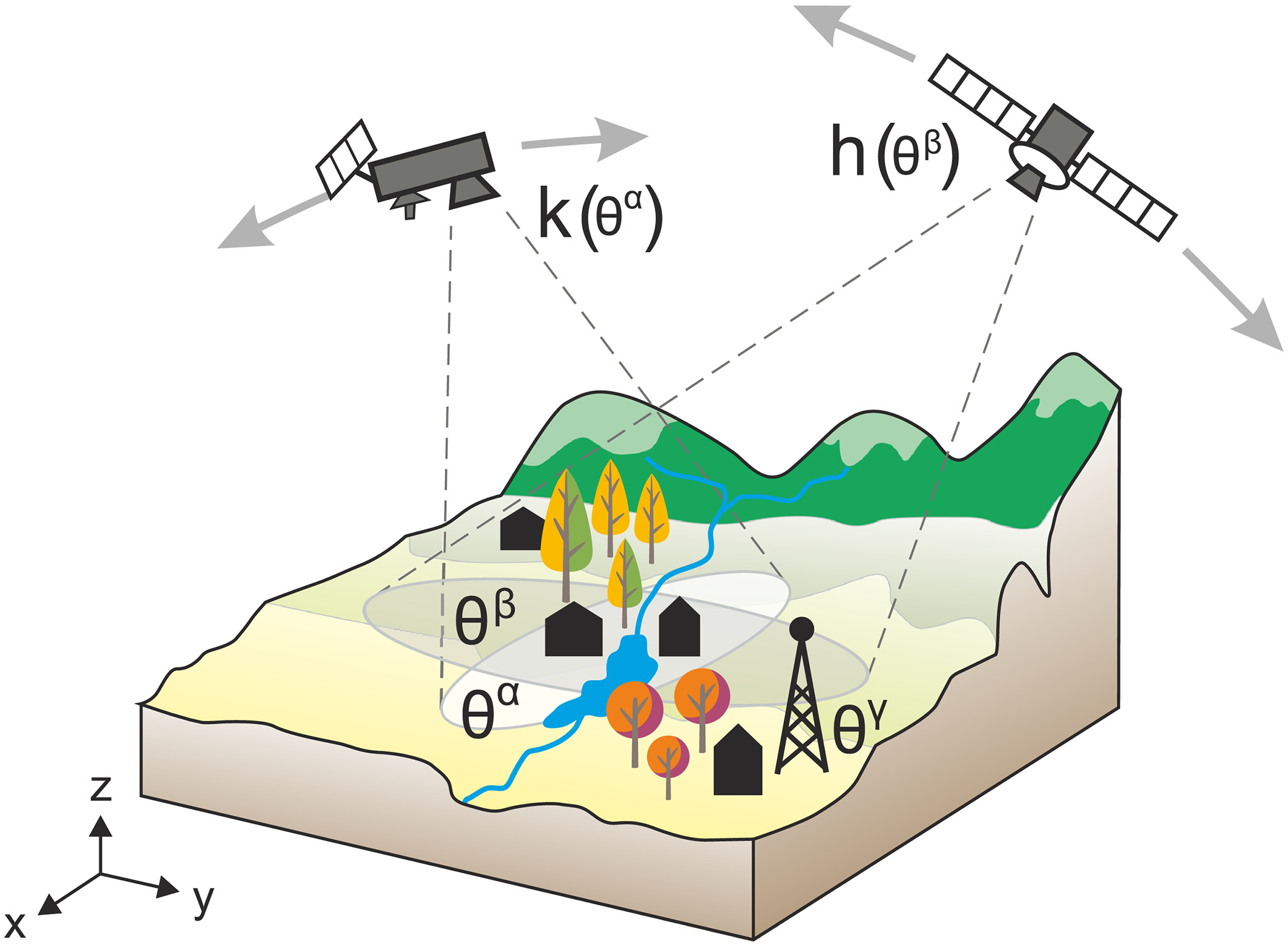
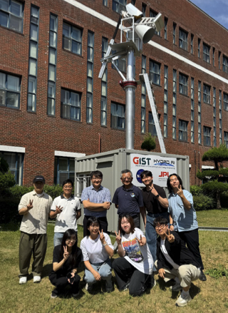
- In-situ data comparison: By comparing satellite measurements with ground-based or in-situ observations, we can identify discrepancies and quantify biases or uncertainties in the remote sensing and model data. This approach is particularly useful for calibration and validation of satellite- and model-derived data products.
- Triple collocation analysis: This method involves the simultaneous comparison of three independent datasets, often with different sources of errors, to estimate the uncertainty and error structure in each dataset. The analysis allows researchers to assess the quality of the data and identify potential error sources without relying on a single reference dataset.
- Intercomparison of data: We compare multiple datasets generated by different instruments, algorithms, or models to identify systematic differences and uncertainties. By analyzing the variations and biases among the datasets, we can better understand the sources of errors and improve data quality.
These methodologies, when used individually or in combination, allow us to characterize errors effectively and enhance the accuracy and reliability of the data used in Earth science and other fields.
This project aims not only to characterize the errors in satellite and model products but also to explore other related research topics below. If you are interested in any of the following research areas, please do not hesitate to contact me!
- Developing advanced machine learning algorithms for detecting and correcting systematic errors in satellite imagery, particularly in the context of land cover classification and atmospheric composition measurements.
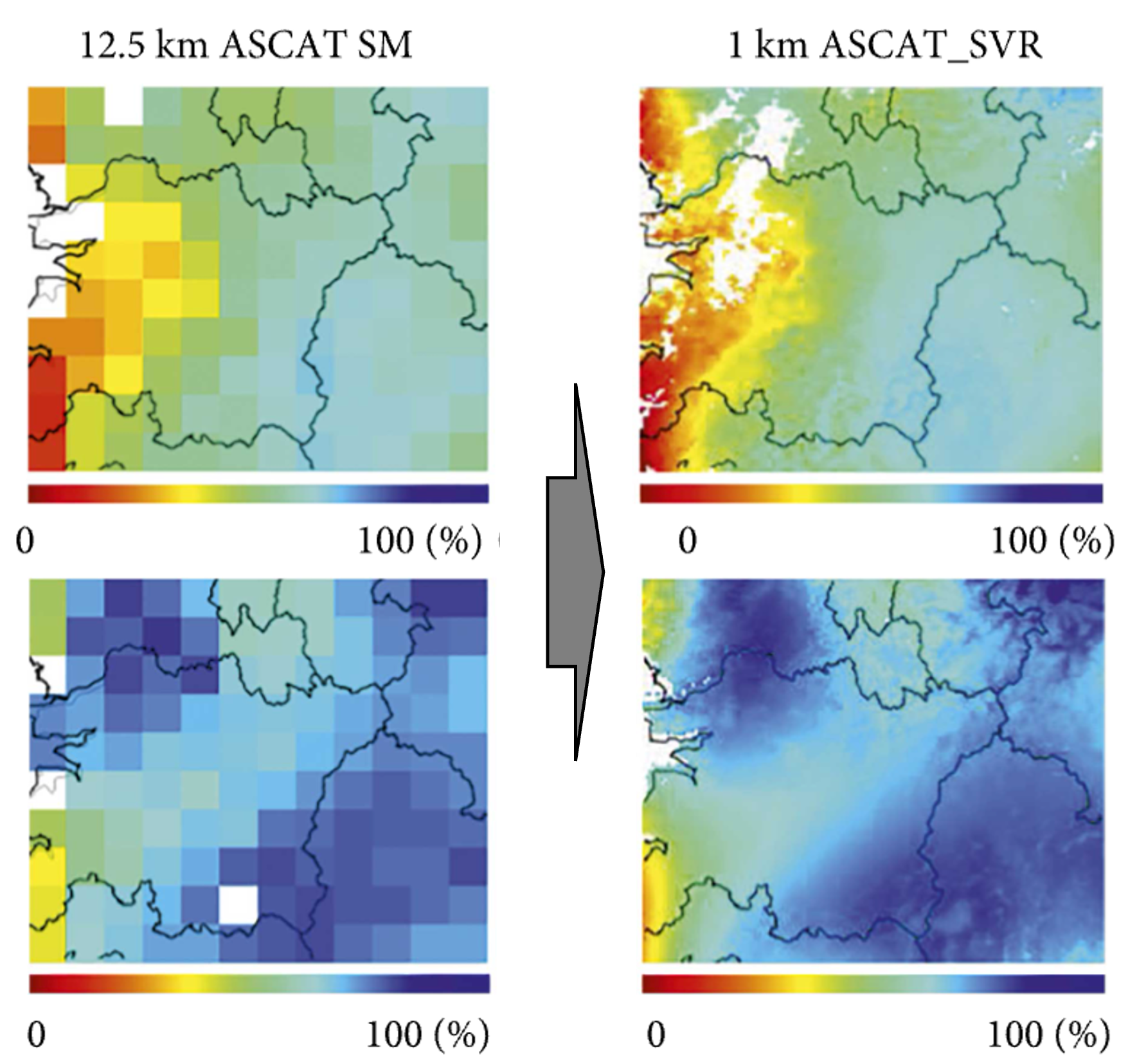
- Comparing and harmonizing data from different satellite missions to create a more comprehensive and accurate global database for various Earth science parameters, such as soil moisture or sea surface temperature.
- Assessing the propagation of uncertainties in Earth system models by quantifying the influence of input data errors on the model output and identifying the most critical sources of uncertainty.
- Developing innovative techniques to combine in-situ and satellite observations to enhance the accuracy and spatial resolution of essential climate variables, such as precipitation and evapotranspiration.
- Analyzing the impact of extreme events, such as volcanic eruptions or wildfires, on satellite data quality and determining methods to correct for these disturbances in the data.
- Evaluating the performance of satellite-based remote sensing algorithms in challenging environments, such as polar regions, arid areas, or complex urban landscapes, to improve error characterization and data quality in these areas.
- Designing new data assimilation techniques that explicitly account for error characteristics in both observations and models to improve the accuracy of weather forecasts and climate projections.
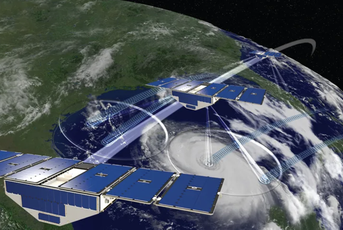
- Exploring the potential of emerging technologies, such as small satellite constellations and high-resolution sensors, to reduce errors and uncertainties in Earth observation data and enhance the monitoring of dynamic processes, such as land-use change or coastal erosion.


