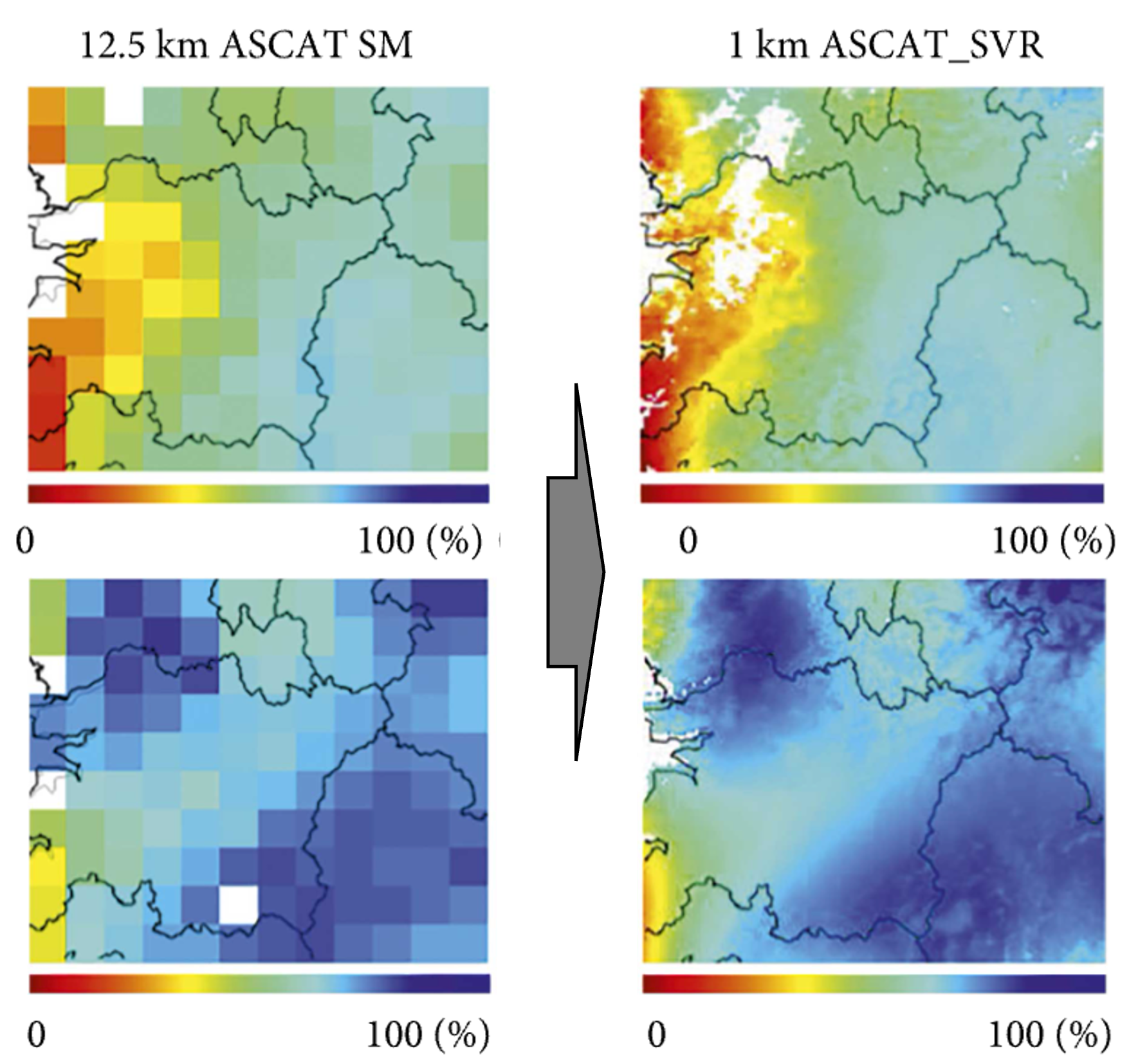
Leveraging remote sensing data and advanced machine learning techniques significantly improves streamflow and flash drought predictions in ungaged regions by capturing complex hydrological processes and environmental factors.
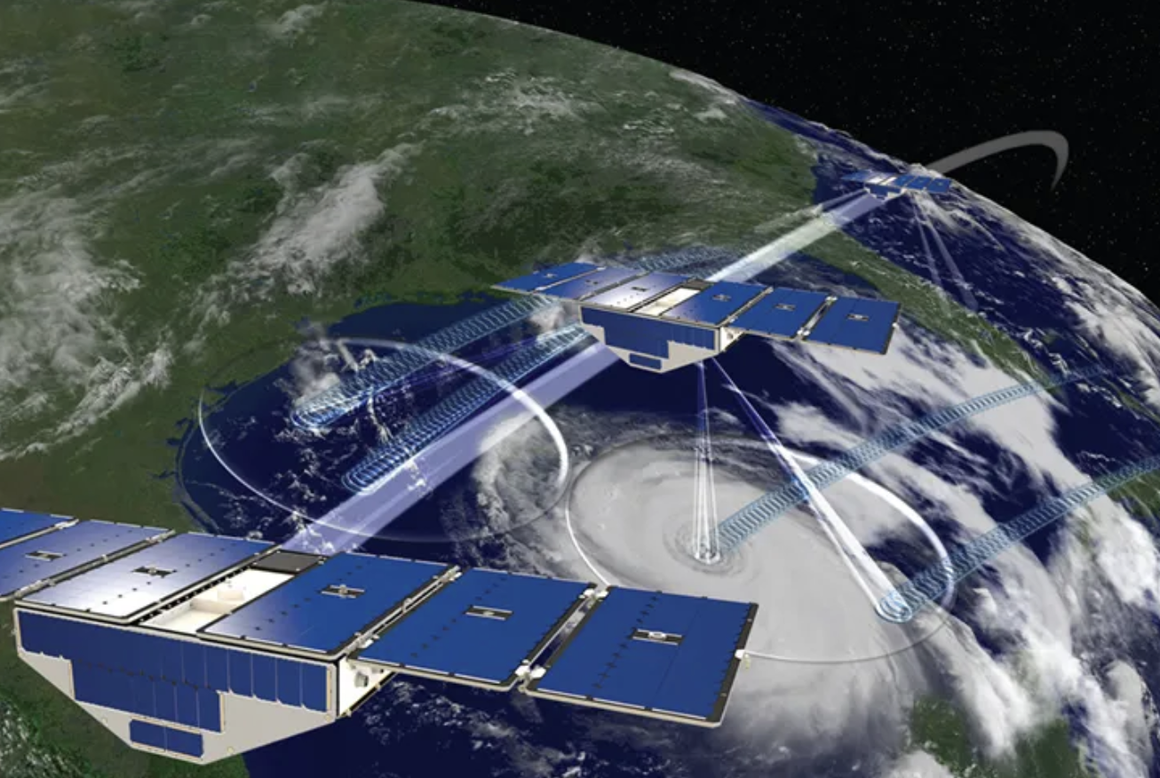
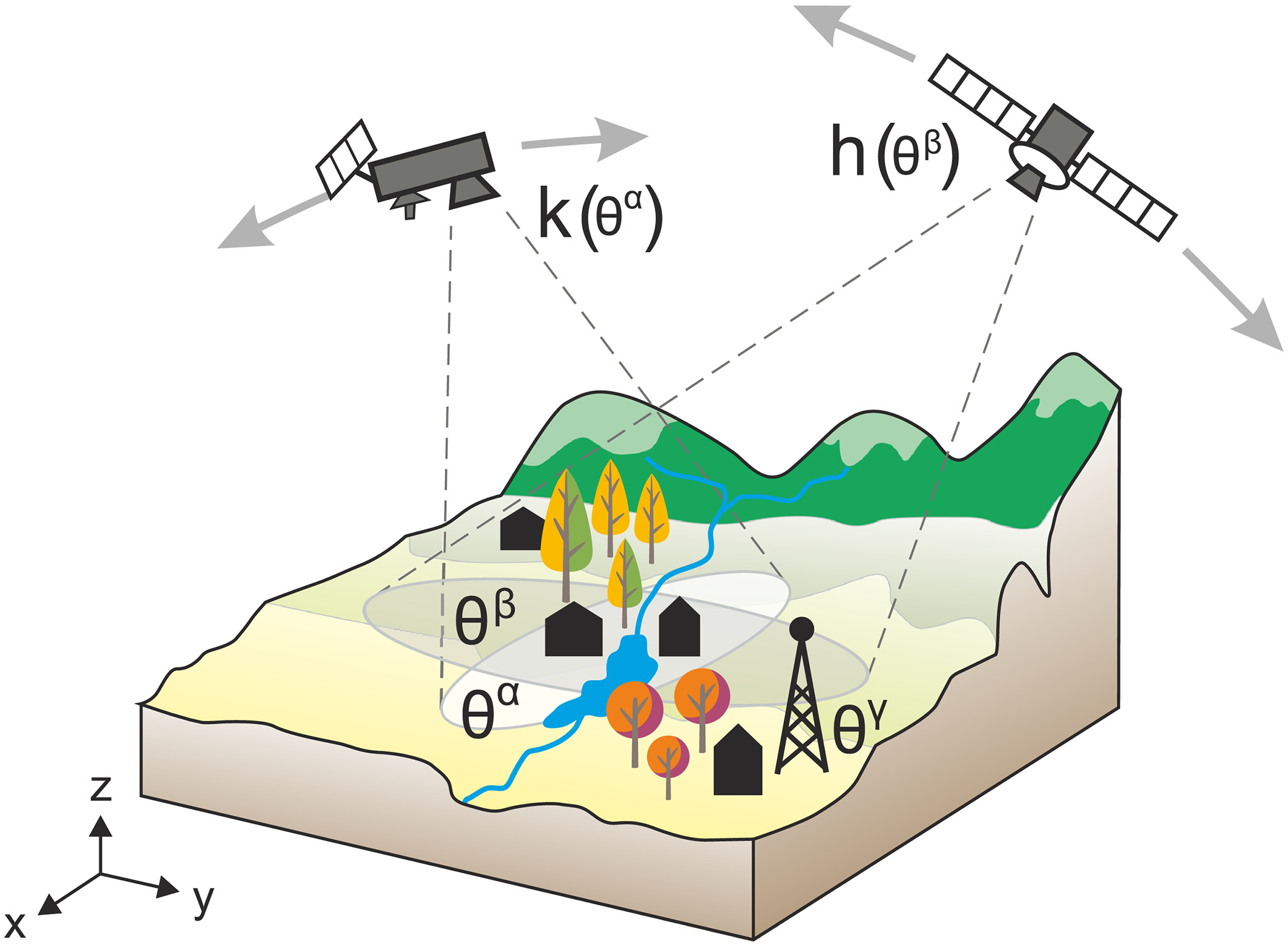
Remotely sensed data can be highly beneficial in predicting streamflow and flash droughts over ungaged regions by providing spatially extensive and continuous observations of key hydrological variables, such as precipitation, soil moisture, land surface temperature, and vegetation indices. When combined with deep and transfer learning approaches, these data sources enable the development of robust predictive models that can capture complex relationships between hydrological processes and environmental factors, ultimately improving our ability to forecast streamflow and flash drought events in regions lacking traditional ground-based monitoring networks.
For example, transfer learning is especially useful because it allows models trained on data-rich regions to be adapted for ungaged areas, effectively utilizing existing knowledge and reducing the need for extensive new data collection, ultimately enhancing the accuracy and efficiency of hydrological predictions in data-scarce locations.

What we aim to achieve
Through this research, we aim to develop more accurate and efficient streamflow and flash drought prediction models for ungaged regions by utilizing remotely sensed data and advanced machine learning techniques, such as deep and transfer learning. By achieving this goal, we hope to improve water resource management, inform disaster mitigation strategies, and enhance our understanding of hydrological processes in data-scarce areas.n lead to a deeper understanding of hydrological processes, helping researchers better comprehend the complex interactions between precipitation, evaporation, and runoff.
Data and analytic skills we use for this project
For this research, the following data analytic skills are essential:
- Remote sensing expertise: Knowledge of various remote sensing platforms, data types, and processing techniques is crucial for obtaining and interpreting the relevant hydrological variables from satellite imagery.
- Machine learning proficiency: Familiarity with deep learning algorithms, such as convolutional neural networks (CNNs) and recurrent neural networks (RNNs), and transfer learning techniques is necessary for developing robust predictive models.
- Hydrological domain knowledge: A strong understanding of hydrological processes, including streamflow dynamics and drought mechanisms, is essential for interpreting results and connecting data insights to real-world applications.
- Programming and software skills: Proficiency in programming languages, such as Python or R, and familiarity with relevant machine learning libraries, like TensorFlow or PyTorch, is necessary for implementing and automating various stages of the analytical process.
Our supportive academic environment is here to help you learn and develop the necessary skills along the way.
If you are interested in applying and learning AI approaches in Earth science, please contact me. The following are a few example research topics we can explore together.
- Estimating future agricultural water demand under climate change: Use deep learning and transfer learning approaches to integrate remotely sensed data, such as evapotranspiration rates and vegetation indices, with climate projections to estimate future water demand for agriculture and inform adaptive water management strategies.
- Predicting coastal vulnerability to sea-level rise and storm surges: Employ deep learning and transfer learning methods to analyze remote sensing data, including shoreline changes, coastal topography, and land use, to assess the vulnerability of coastal regions to the impacts of climate change, such as sea-level rise and increased storm surges.
- Monitoring and predicting ecosystem shifts under climate change: Utilize deep learning and transfer learning techniques to combine remotely sensed data, such as land cover and temperature, with climate change projections to predict shifts in ecosystem boundaries and assess potential impacts on biodiversity and ecosystem services.
- Assessing the risk of wildfires under climate change: Apply deep learning and transfer learning approaches to integrate remote sensing data, including vegetation moisture content and fire history, with climate projections to identify regions at increased risk of wildfires due to changing climate conditions and inform fire management strategies.


