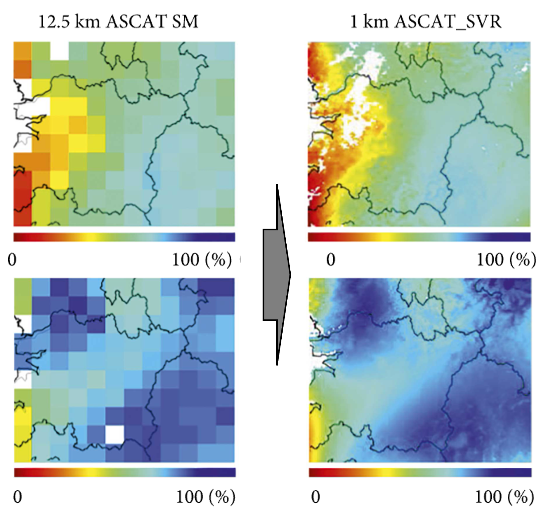
Enhancing Temporal Resolution of Satellite Soil Moisture Data: Implications for Agriculture, Water Management, Climate Change Research, and Ecosystem Health
Enhancing the temporal repeat of satellite data for obtaining soil moisture information is a vital research area due to its far-reaching implications for various aspects of human life and the environment. The benefits of improving the temporal resolution of satellite data in these domains are manifold:
Agriculture:
Soil moisture is a key parameter that influences crop growth, yield, and overall productivity. Timely and accurate soil moisture data enables farmers to make informed decisions regarding irrigation scheduling, crop selection, and disease management. This, in turn, can lead to better crop yields, reduced input costs, and sustainable agriculture practices. The increasing global demand for food security makes improving the temporal resolution of soil moisture data even more critical.
Water resource management:
Water scarcity is a pressing issue in many parts of the world. Enhanced temporal resolution of satellite soil moisture data can significantly improve the efficiency of water resource management by providing accurate and up-to-date information on water availability and soil water storage. This enables policymakers and water managers to make informed decisions about water allocation, conservation measures, and infrastructure planning, ultimately leading to more sustainable water use.
Climate change research:
Soil moisture plays a significant role in the Earth's energy and water cycles, which are essential components of the global climate system. High-quality, high-resolution soil moisture data can provide valuable insights into the interactions between the atmosphere, land surface, and vegetation, contributing to a better understanding of climate change processes. Moreover, these data sets can be used to calibrate and validate climate models, enhancing their predictive capabilities and enabling more accurate projections of future climate scenarios.
Ecosystem health:
Soil moisture has a strong influence on the health and functioning of ecosystems. It affects plant growth, species distribution, nutrient cycling, and overall biodiversity. By improving the temporal resolution of satellite soil moisture data, researchers can gain a deeper understanding of ecosystem dynamics and how they respond to environmental changes, such as climate change or land use modifications. This knowledge can be used to guide conservation efforts and develop adaptive management strategies to protect and restore ecosystems.
Disaster risk reduction:
Timely and accurate soil moisture data can contribute to early warning systems for droughts, floods, and landslides. Improved temporal resolution allows for better monitoring and prediction of these natural disasters, helping to minimize their impacts on human lives and property. In addition, the data can be used to inform land-use planning, disaster preparedness, and post-disaster recovery efforts.
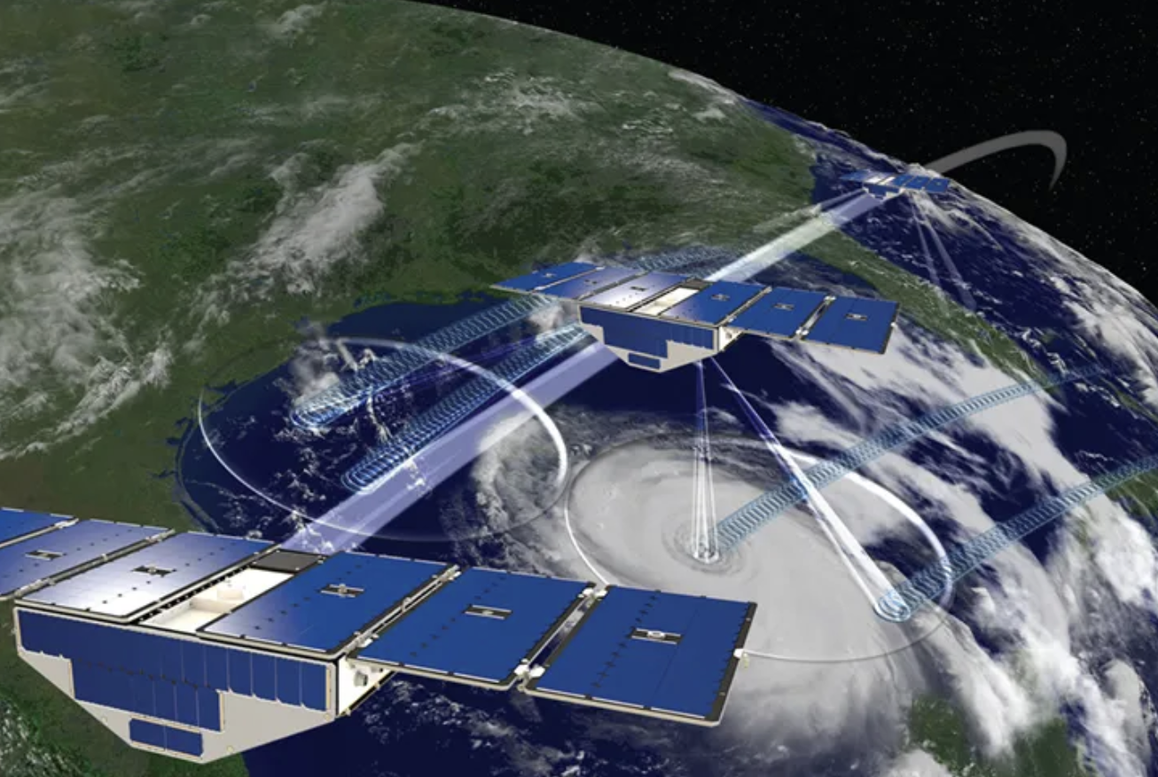
We are developing novel algorithms and approaches to obtain more frequent soil moisture data from space by utilizing a new satellite system, such as NASA's cyclone-tracking satellite called CYGNSS.

What we aim to achieve
We aim to improve the temporal repeat of soil moisture data from space to obtain more accurate and timely information for enhanced decision-making in agriculture, water management, and environmental monitoring. This increased precision can lead to better resource management, increased productivity, and a deeper understanding of the Earth's climate and ecosystems.
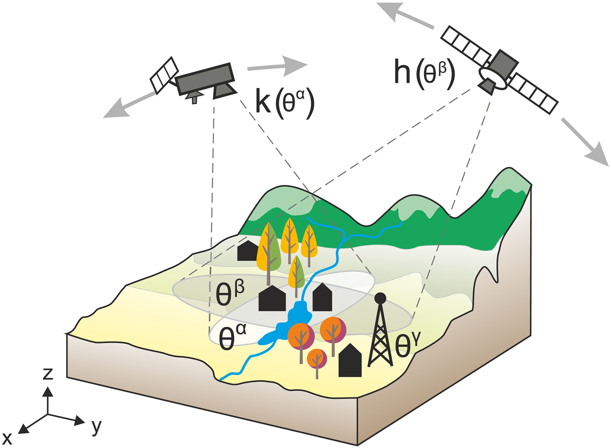
We enhance soil moisture estimates by employing multi-sensor data fusion, which combines data from various satellite missions and sensors, using techniques like data assimilation and machine learning to leverage the strengths of each sensor for a comprehensive and accurate product. We also develop and refine advanced algorithms, including statistical methods and physically-based approaches, to account for factors like land cover, vegetation, and soil properties. Additionally, incorporating satellite-derived soil moisture data into hydrological and land surface models through data assimilation techniques, such as Kalman filtering and ensemble-based methods, helps improve the representation of soil moisture and the accuracy of model predictions.
Data and analytic skills we use for this project
- Multi-sensor data fusion: Integrating data from diverse satellite missions and sensors to create improved soil moisture estimates.
- Data assimilation techniques: Employing methods like machine learning to merge datasets, capitalizing on the strengths of each sensor for a comprehensive and accurate product.
- Advanced algorithm development: Creating and refining algorithms using statistical methods, machine learning, and physically-based approaches to retrieve soil moisture from remote sensing data.
- Hydrological model integration: Incorporating satellite-derived soil moisture data into hydrological and land surface models using data assimilation techniques, such as Kalman filtering and ensemble-based methods, for more accurate soil moisture information.
This project aims not only to improve the temporal repeat of the satellite-based soil moisture data but also to explore other related research topics below. If you are interested in any of the following research areas, please do not hesitate to contact me!
- Deep learning-based multi-sensor data fusion: Investigating the application of advanced deep learning techniques for integrating soil moisture data from various satellite sensors and missions.
- Uncertainty quantification and propagation: Analyzing the uncertainties in satellite-derived soil moisture products, and understanding how they propagate through various processing steps, algorithms, and data fusion techniques.
- Soil moisture retrieval in complex environments: Developing innovative methods for accurately estimating soil moisture in challenging environments, such as urban areas, mountainous regions, and areas with dense vegetation cover.
- Data assimilation for improved drought and flood prediction: Investigating the effectiveness of assimilating satellite-derived soil moisture data into hydrological and land surface models for better prediction of drought and flood events.
- Satellite-derived soil moisture and agricultural productivity: Examining the relationship between satellite-based soil moisture measurements and agricultural productivity, focusing on the potential for data-driven decision support tools for farmers.
- Integration of satellite and ground-based data for improved soil moisture monitoring: Evaluating the benefits of combining satellite-derived soil moisture data with ground-based measurements from sensor networks, in terms of accuracy, reliability, and spatiotemporal coverage.
- Impact of climate change on soil moisture dynamics: Assessing the influence of climate change on soil moisture patterns and their implications for water resources, agriculture, and ecosystems.


