A satellite sees soil moisture only where it passes, and a computer model can only estimate it. This project works on combining the two, and on finding out which future observations would help most.
At a glance
- Theme: Combining satellite observations with land models (data assimilation)
- Observations: Satellite soil moisture
- Approach: Land surface models, artificial intelligence

The basics
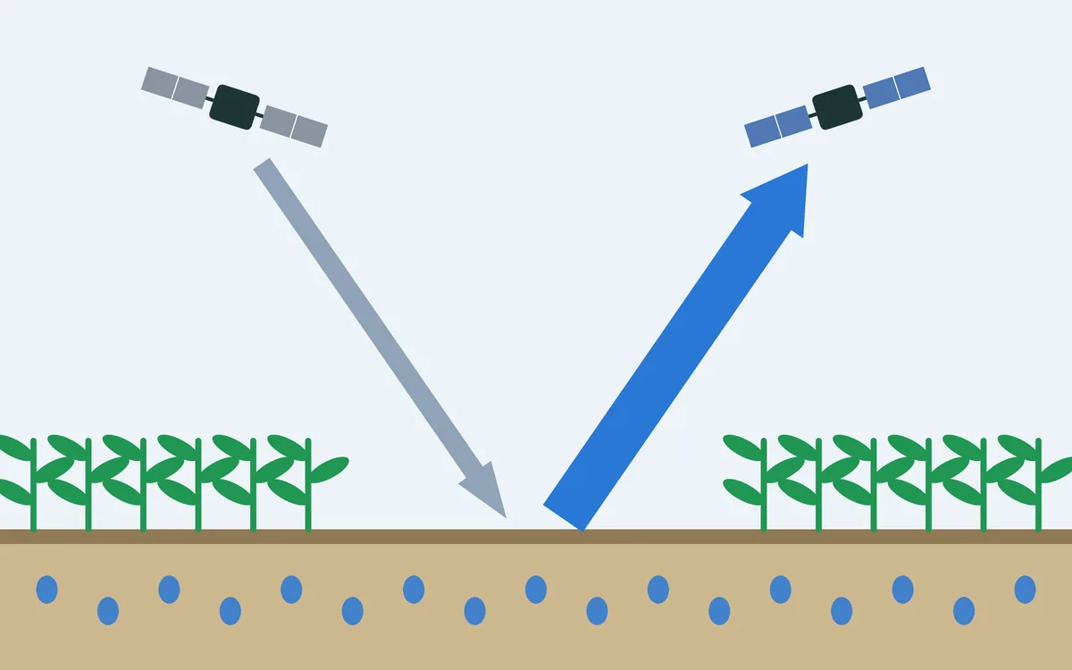
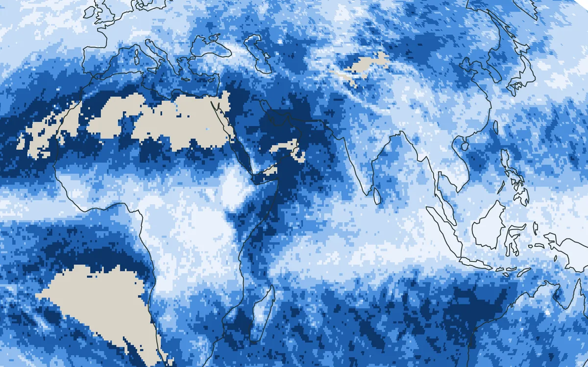
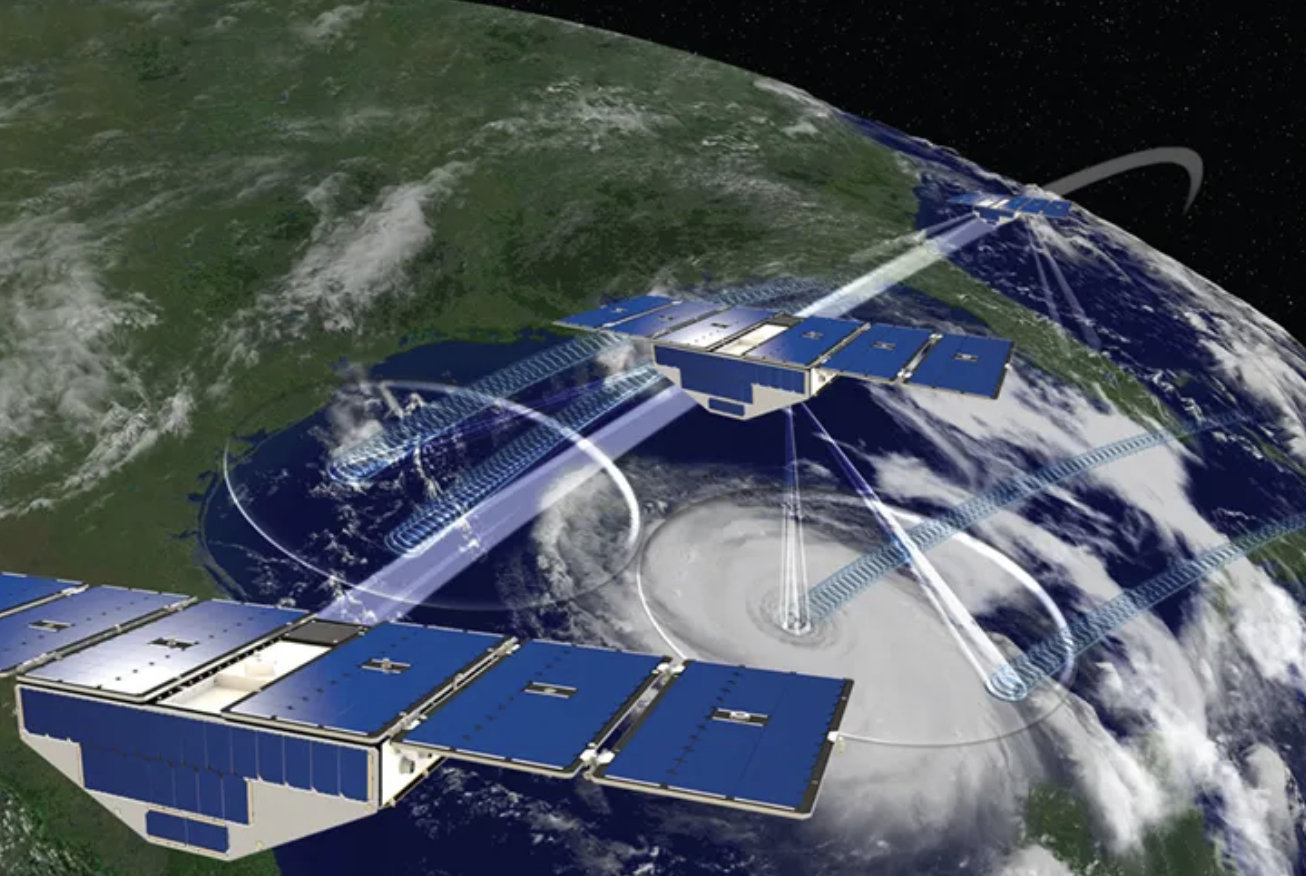
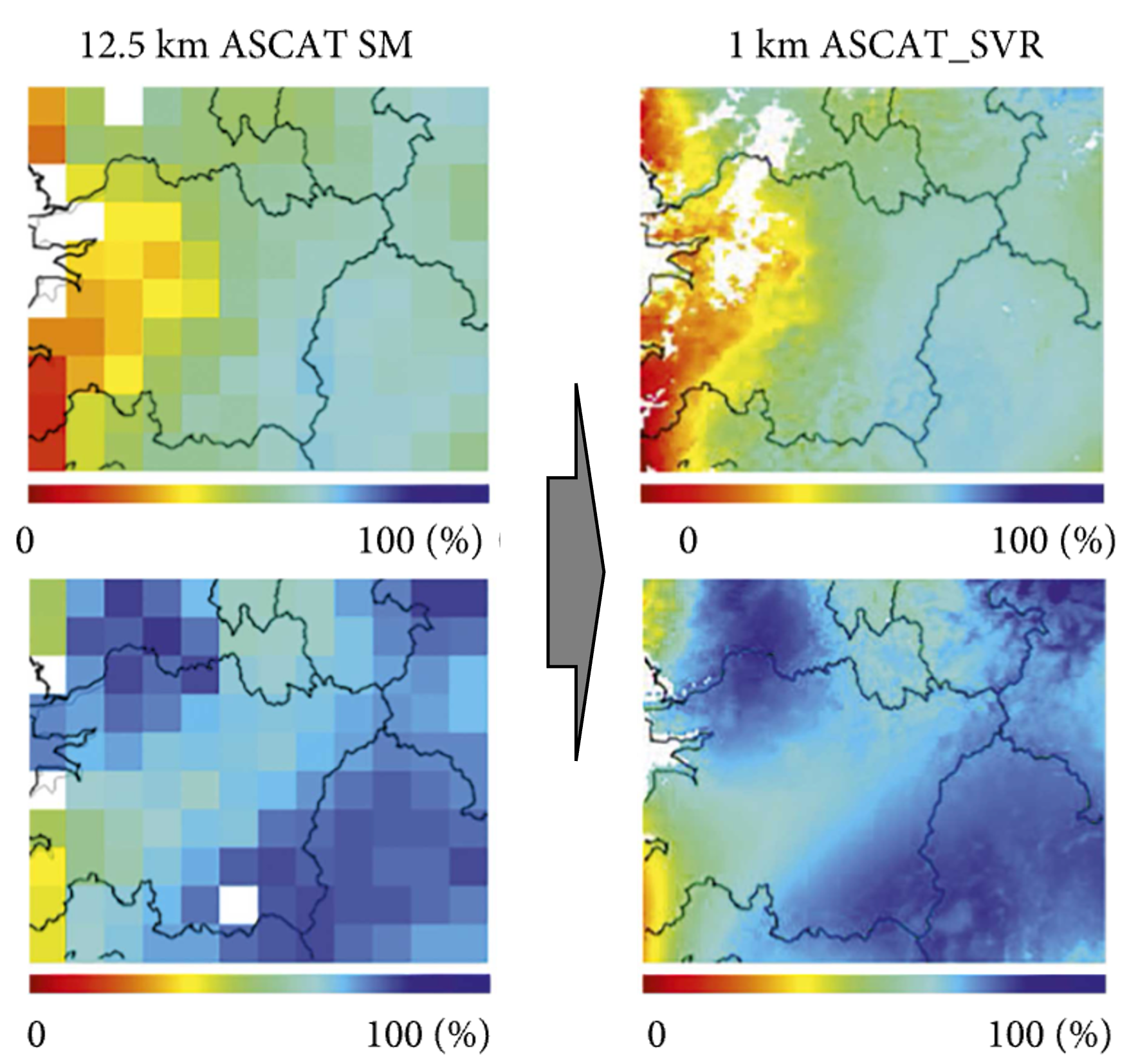
Soil moisture, the water held in the soil, is a small part of the world's water, but it decides how much of the rain runs off, how much water plants can take up and how hot the land becomes in a dry spell. Two sources tell us about it. Satellites such as NASA's SMAP measure the top few centimetres from orbit: real observations, but only every two to three days at a given place, and with some error. Land models compute soil moisture everywhere and at every hour from rain, sunshine and the properties of the soil. They have no gaps, but an error in what goes in, such as a rainstorm that the model's input has missed, stays in the model and grows.
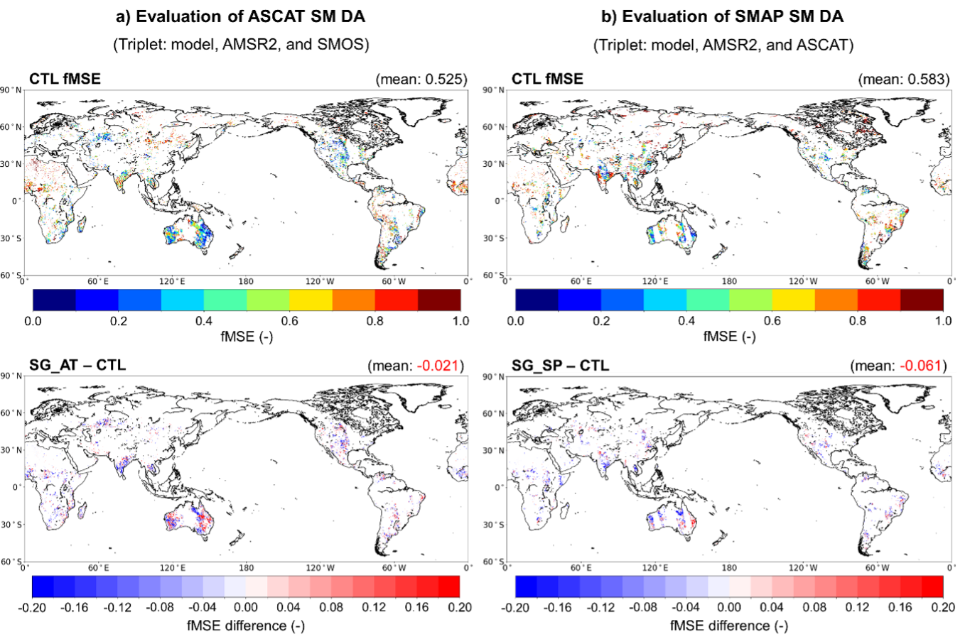
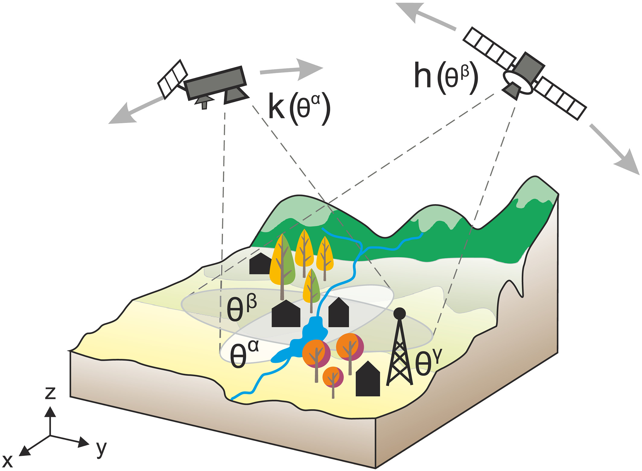
Data assimilation joins the two. The model runs forward, and whenever an observation arrives, the model's state is pulled towards it, by an amount that depends on how much each of the two is trusted. Weather forecasts have started from such combined states for decades; for the land the practice is more recent.

The challenge
How much an observation helps depends on choices: which satellite to use, how often it must pass, how accurate it has to be, and how its errors are treated. For a satellite that does not fly yet, this is tested in an observing system simulation experiment: the observations it would make are simulated and fed into the assimilation, and the result is compared with a run without them. Such experiments need the land model to be run a great many times, which makes them slow and costly.
Our focus
We study how satellite observations of soil moisture are best merged into land models, and we use artificial intelligence to make such experiments fast enough to try many possible ways of observing, including satellites that are still being planned.
Why it matters
Better use of the satellites we have, and well-founded choices about the next ones, lead to better monitoring of droughts, floods and other hydrological extremes.