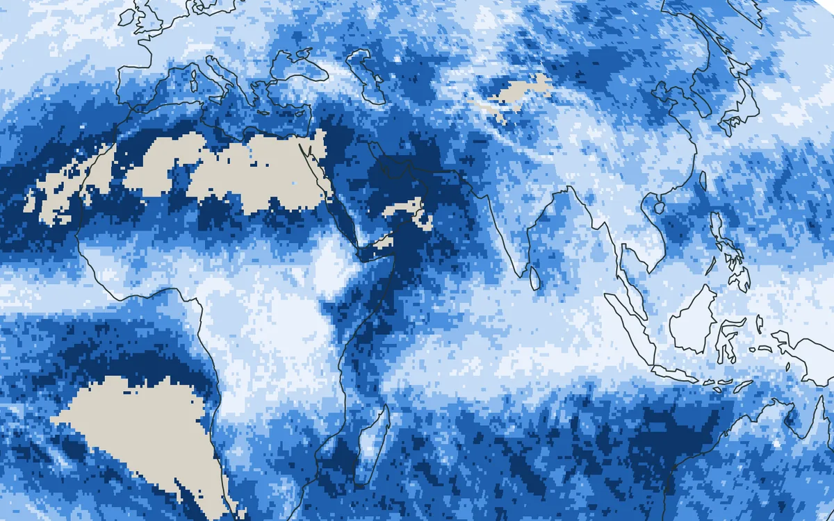
Rain leaves a mark in the soil: after a storm, the ground is wetter. This project uses that mark, as satellites see it, to estimate how much rain fell.
At a glance
- Theme: Rainfall estimated from satellite soil moisture
- Observations: Satellite soil moisture (SMAP), satellite observations of rivers
- Approach: The water balance of the soil, land models

The basics
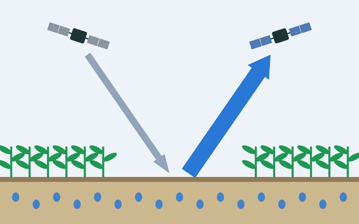
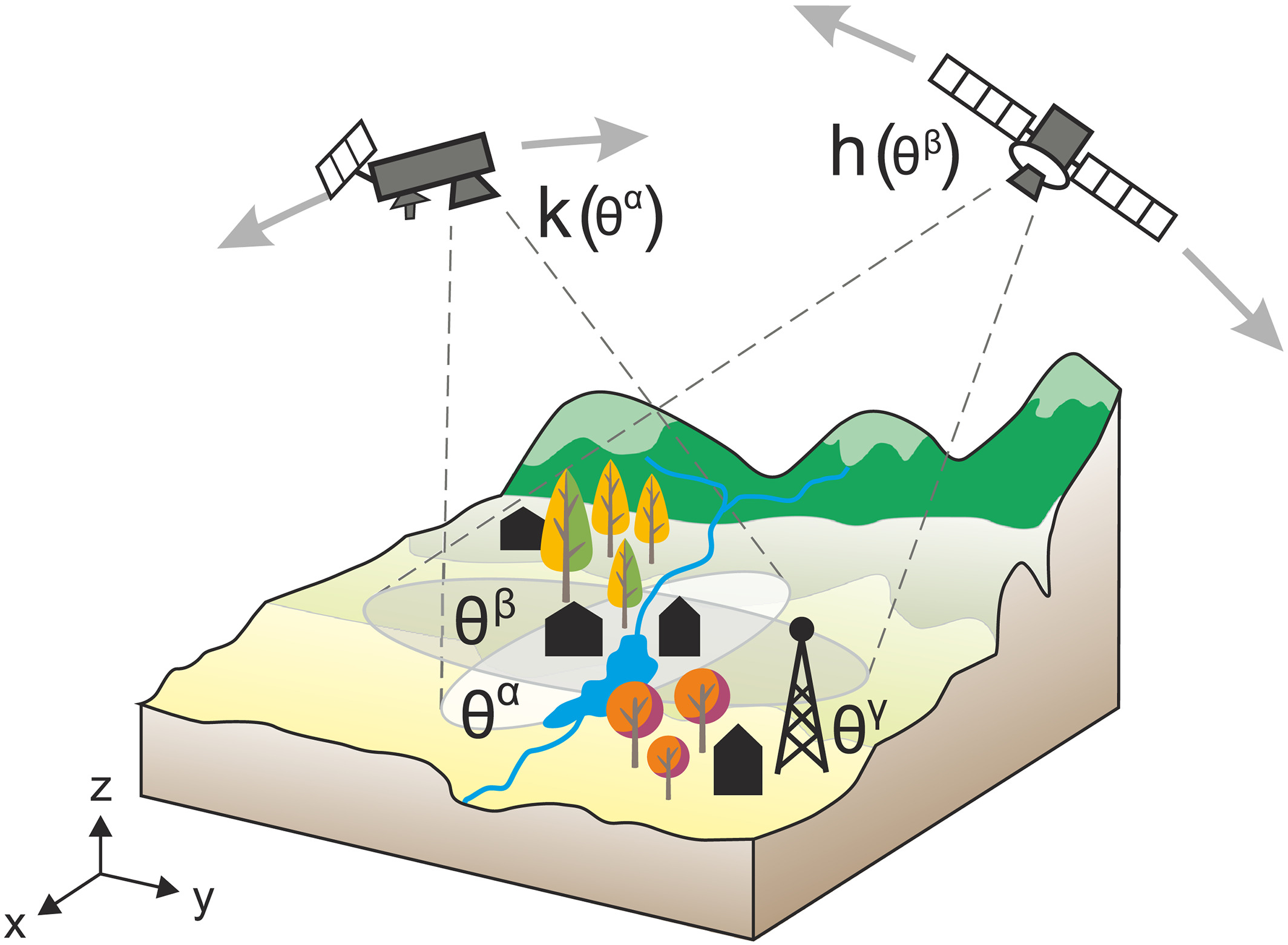
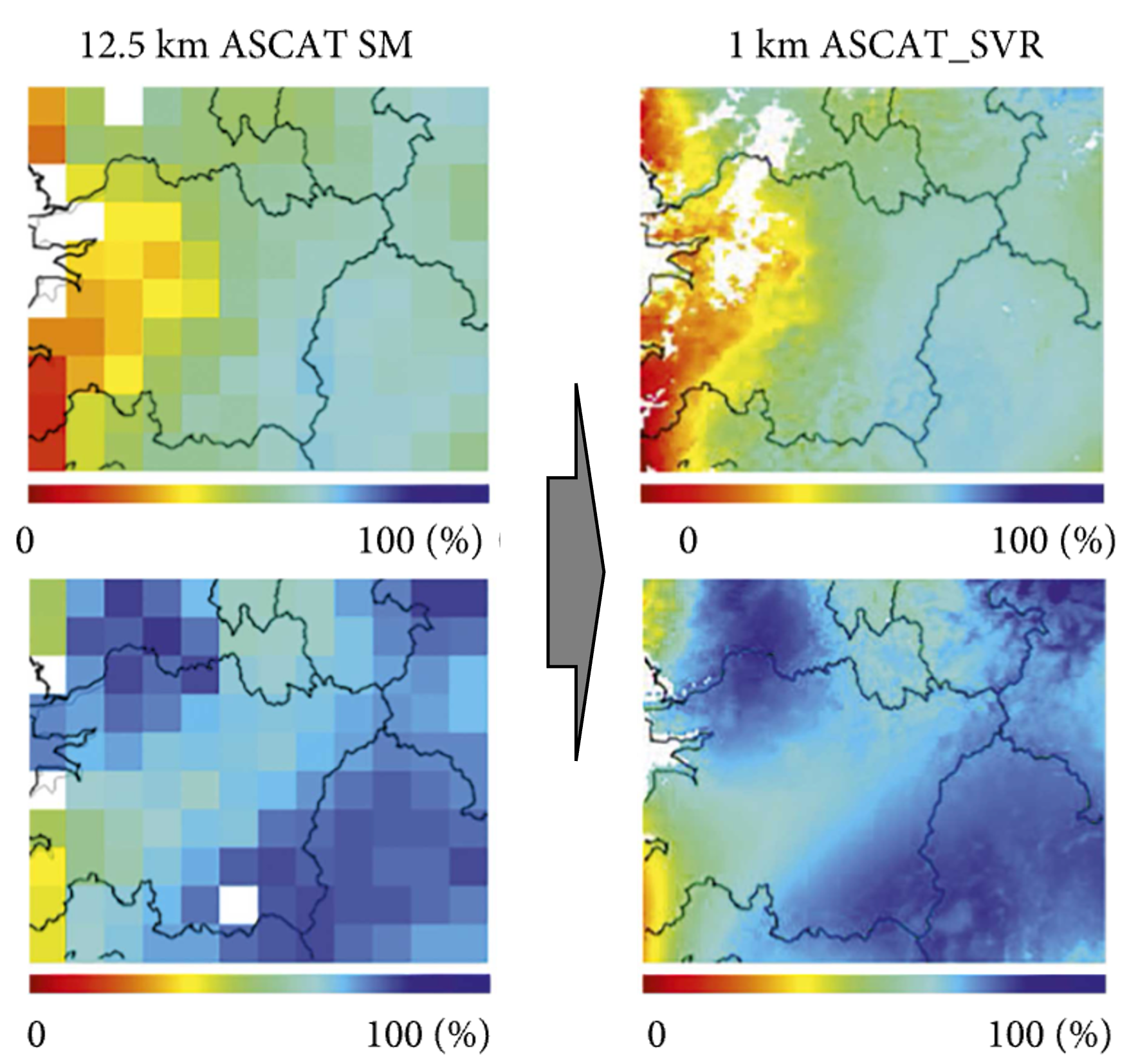
Think of the upper soil as a bucket. Rain fills it; evaporation, plants and drainage empty it again. If one knows how the water level in the bucket changes, and roughly how fast it empties, the rain that fell can be worked out backwards. Satellites provide the water level: soil moisture, every two to three days, everywhere on land.

This turns the land itself into a rain gauge. The estimate does not rest on the clouds seen from above, as satellite rain products do, so it can check and complement them.
The challenge
Rain gauges are scarce in much of the world, and satellite estimates of rain have errors of their own. Rainfall worked out from soil moisture is a second, independent source, but it has a weak point: once the soil is full, the rest of the rain runs off and leaves no further trace in it. Heavy storms, the ones that matter most for floods, are therefore the hardest.
Our focus
We work on making rainfall estimates from satellite soil moisture more accurate, above all in heavy rain, when much of the water runs off and never shows in the soil.
Why it matters
More reliable rainfall estimates where gauges are few help water management and the assessment of floods and droughts.