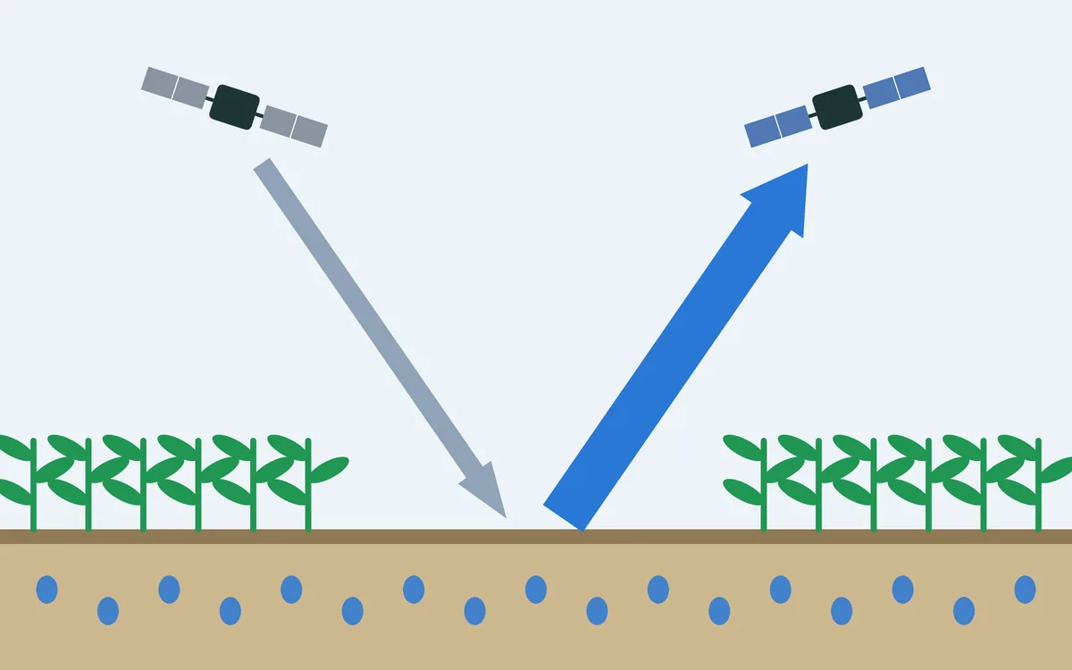
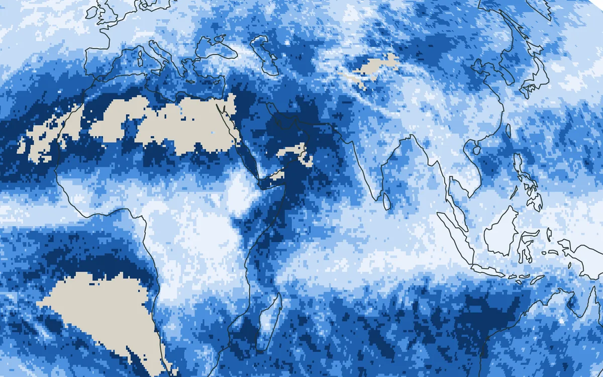
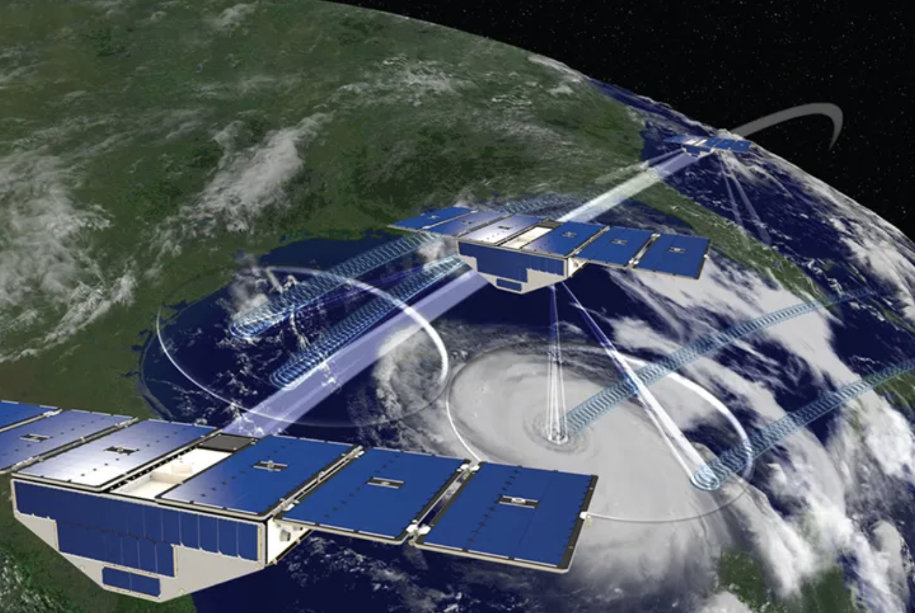
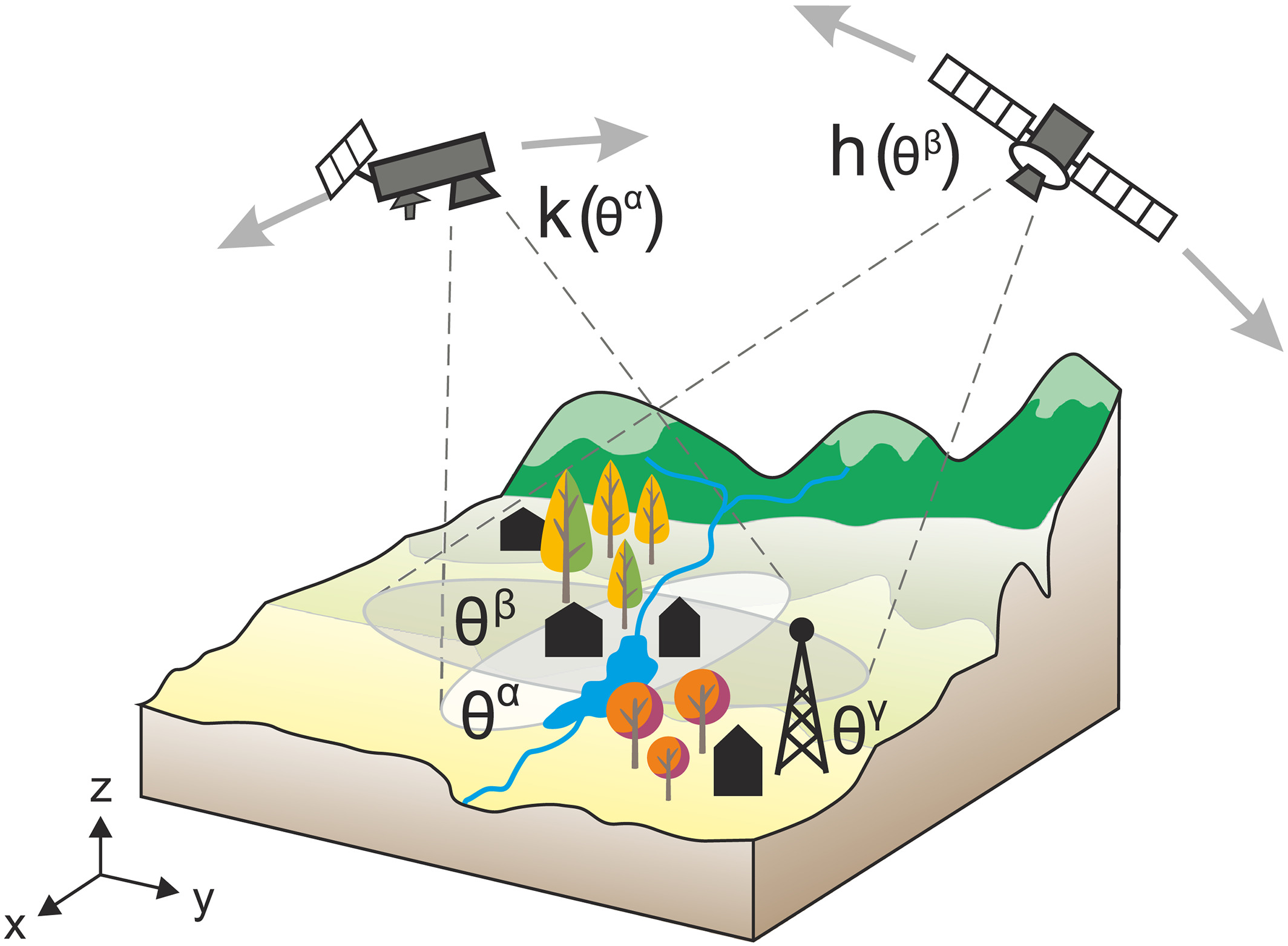
Satellites sense soil moisture in the top few centimetres, while plants draw water from the root zone below. This project estimates what lies below from what satellites see at the surface.
At a glance
- Theme: Root-zone soil moisture
- Observations: Satellite soil moisture (SMAP), rainfall, ground stations
- Approach: Artificial intelligence

The basics
Microwave satellites such as SMAP sense the water in about the top five centimetres of the soil. Most roots reach much deeper, to a metre and more, and that is where plants take their water from. The two layers are connected, but they behave differently. The surface wets within hours when it rains and dries within days in sun and wind. Water takes time to move down, and roots draw on the deeper soil slowly, so the root zone responds later and more smoothly: it adds up the rains of weeks and keeps the trace of a wet or dry season.

To know the root zone, it is therefore not enough to look at the surface today; one has to follow what the surface and the rain have done over the past weeks.
The challenge
The water in the root zone decides how much plants can take up, yet stations that measure it are sparse, and satellites see only the top few centimetres. What happens at the surface and what happens below are linked, but not in a simple way.
Our focus
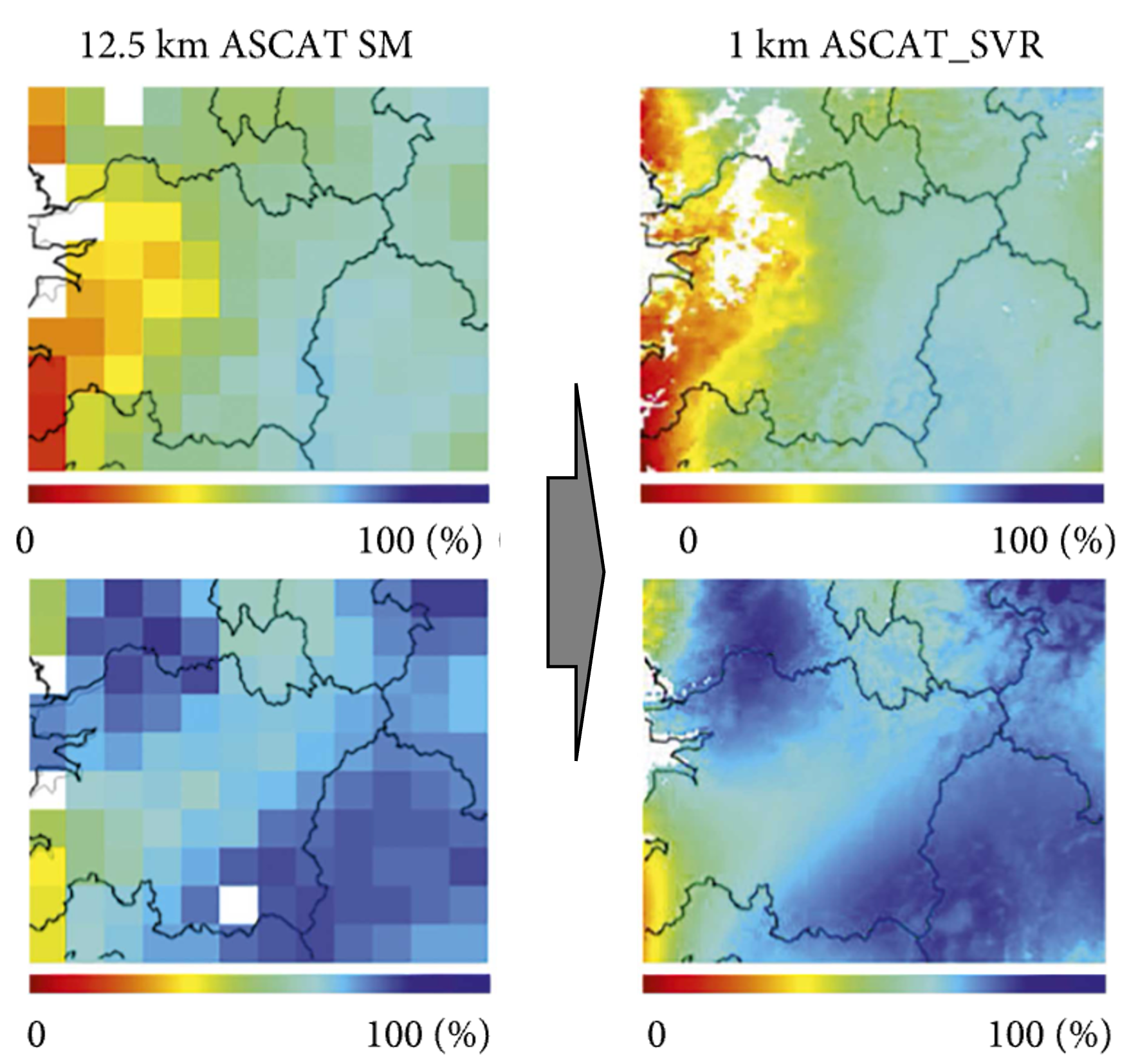
We use artificial intelligence to learn, at places where both are measured, how the root zone follows the history of the surface and of rainfall, and apply what it has learned to satellite observations over large areas.
Why it matters
Reliable estimates of root-zone soil moisture from satellites support the assessment of water stress in vegetation and the management of farmland.