After a mountainside collapses, satellites are often said to have seen it coming. This project looks at what satellites can really observe on a steep, remote slope, and when.
At a glance
- Theme: Satellite monitoring of mountain hazards
- Observations: Optical and radar satellites
- Region: The Himalaya (Langtang, Nepal)

The basics
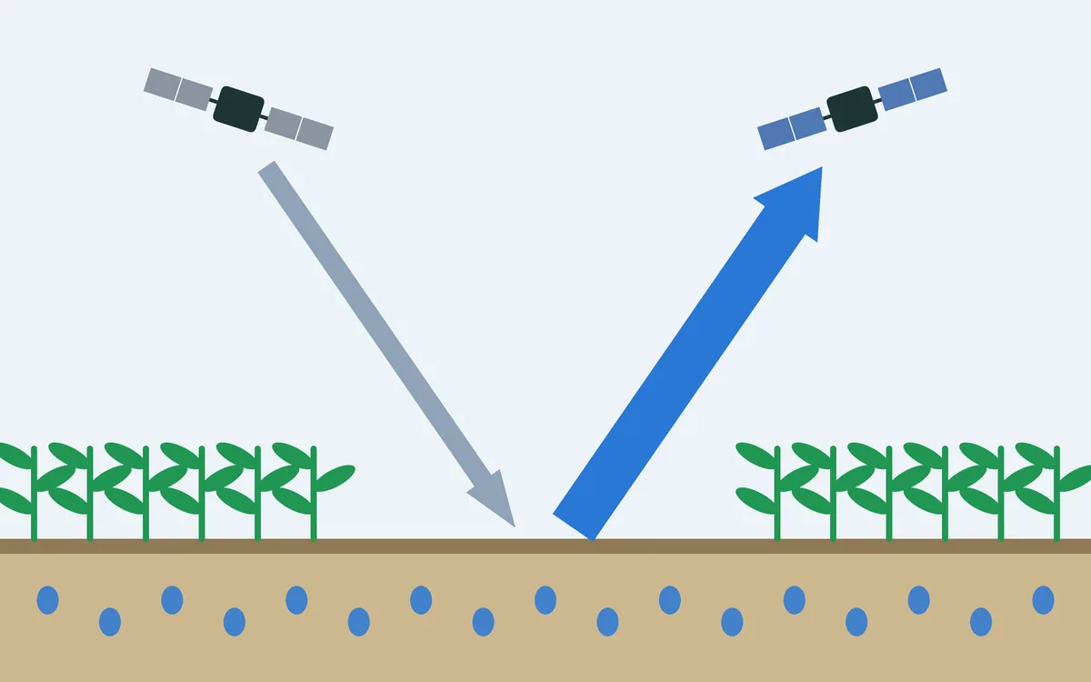
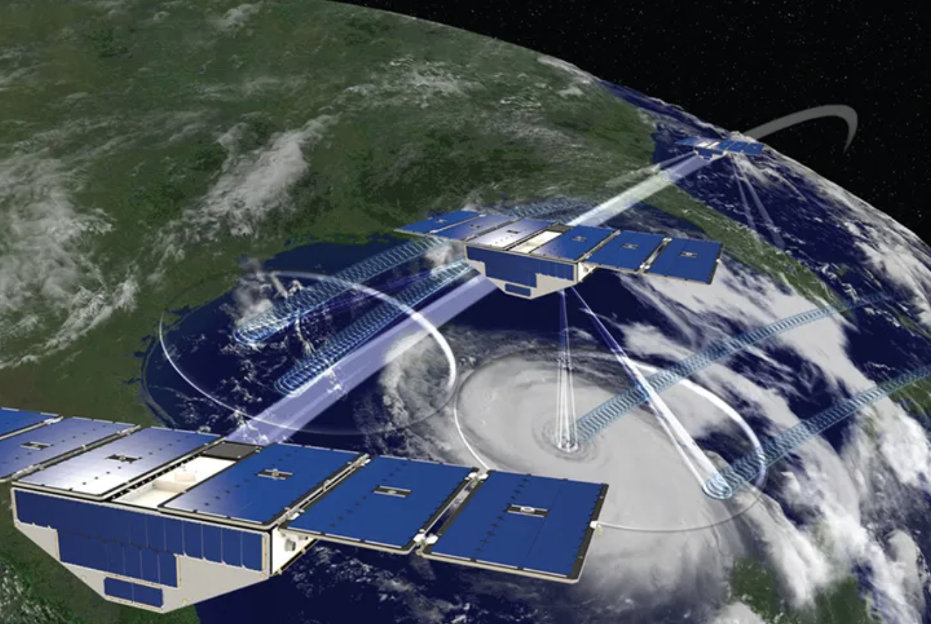
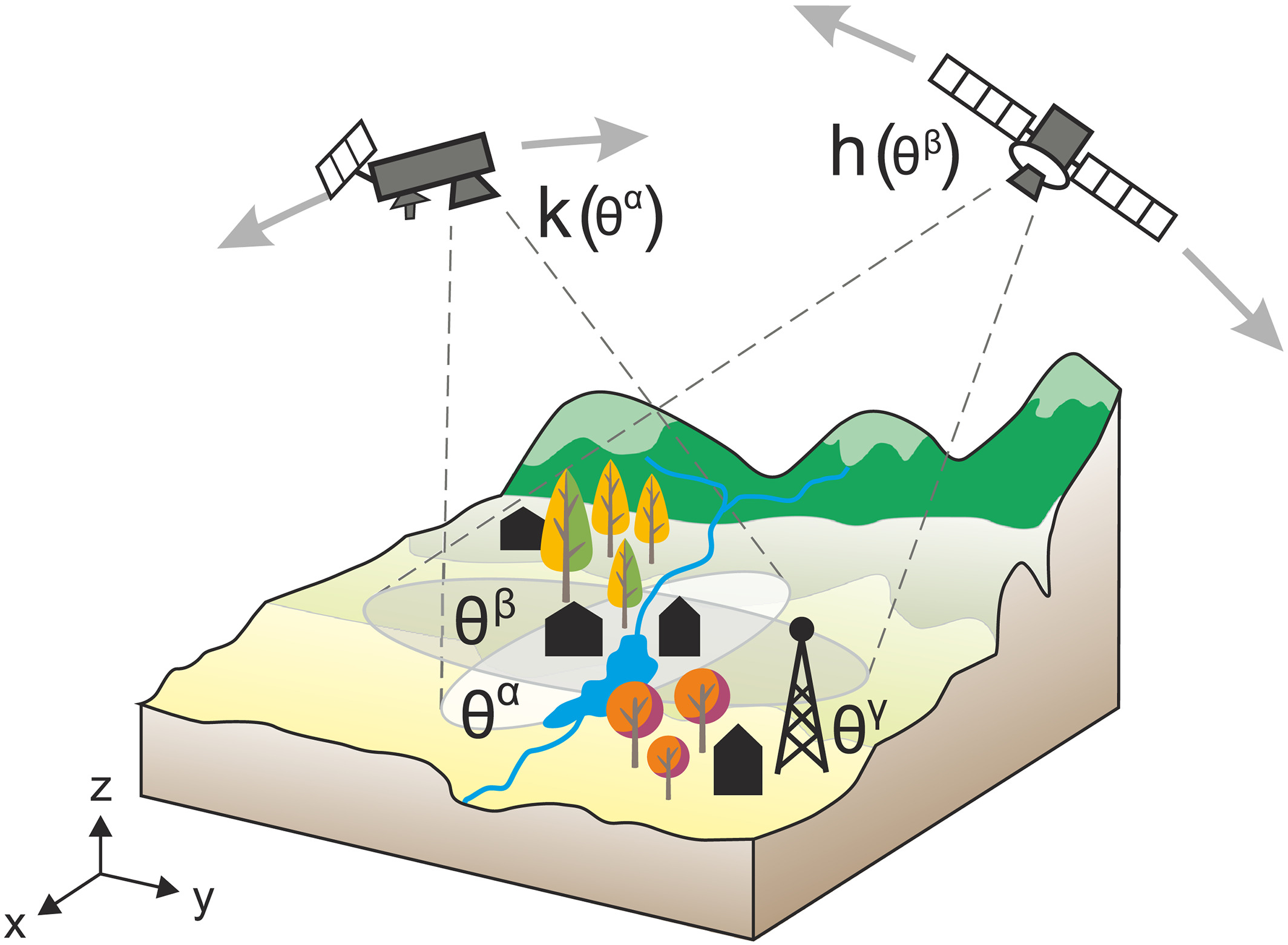
Satellites watch the ground in two ways. Optical satellites take pictures in sunlight, like a camera. A slope that is moving shows up when two pictures taken on different days are compared and features have shifted. This needs daylight and a clear sky. Radar satellites send microwave pulses and record the echo. When two passes over the same place are compared, a change of millimetres to centimetres in the distance to the ground can be measured, through cloud and at night. This technique, radar interferometry, fails where the surface itself changes between passes, as on snow, ice and loose debris, and where the ground moves too fast.

Both kinds of satellite pass only every few days. What happens between two passes goes unseen, and so does anything smaller than the detail the instrument can resolve.
The challenge
High mountain slopes can fail with little warning, and satellites are the only regular observers of such places. After a disaster, satellite images are often shown as proof that it could have been foreseen. But in the monsoon season, when slopes are wettest, cloud hides the ground on most passes of the optical satellites, and steep, snow-covered terrain is among the hardest for radar.

Our focus
Taking a recent collapse in the Langtang valley as an example, we go back through the record of optical and radar satellites and examine what they could, and could not, have shown beforehand.
Why it matters
Knowing what satellites can and cannot verify helps to set realistic expectations for the monitoring of hazardous slopes, and shows which observations are missing.