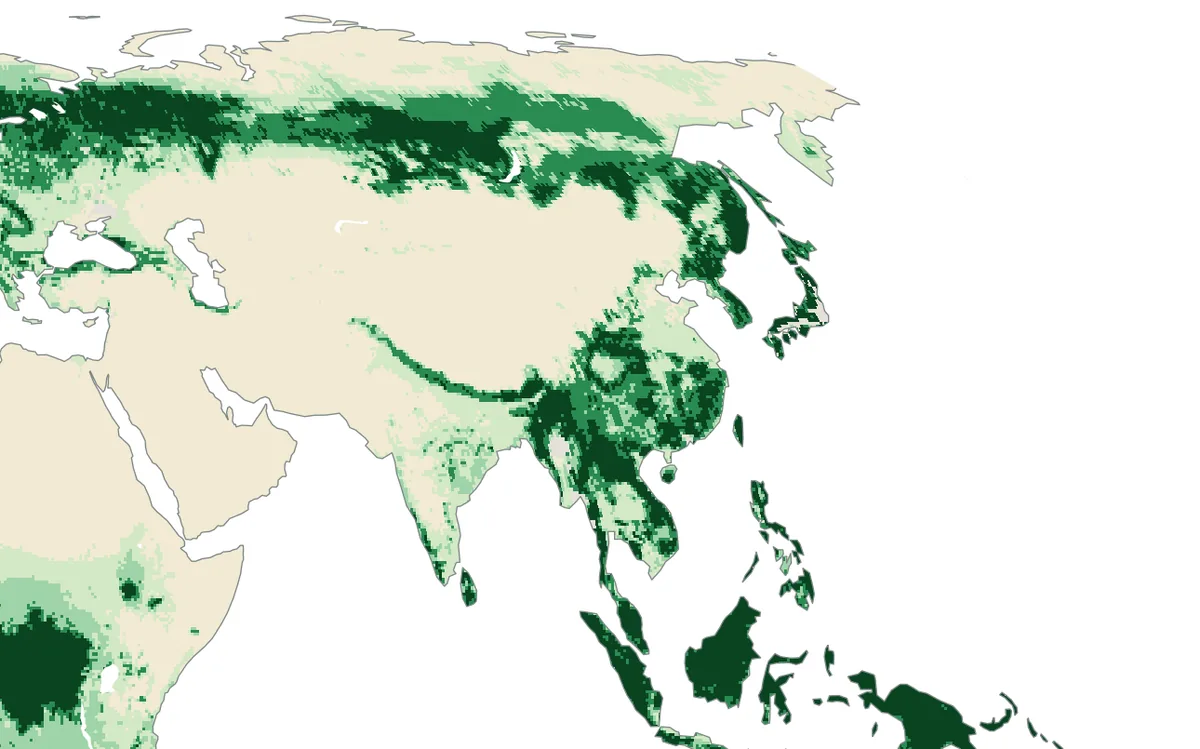
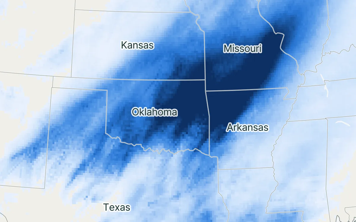
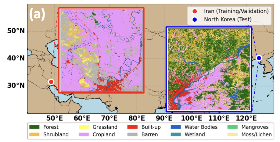
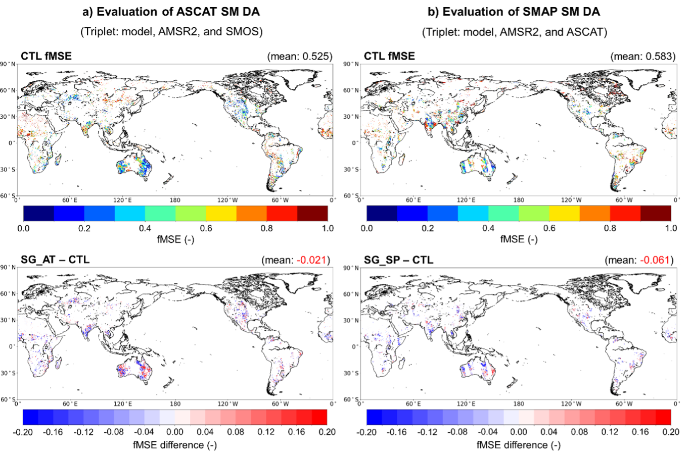
Rain falls, part of it evaporates, part runs off, and the rest is stored in soil, snow and groundwater. Each of these is observed by different satellites; this project works on learning them together.
At a glance
- Theme: The land water cycle as one system
- Observations: Satellite gravimetry (GRACE), satellite data on rain, evaporation and soil moisture
- Approach: Artificial intelligence that respects the water balance

The basics
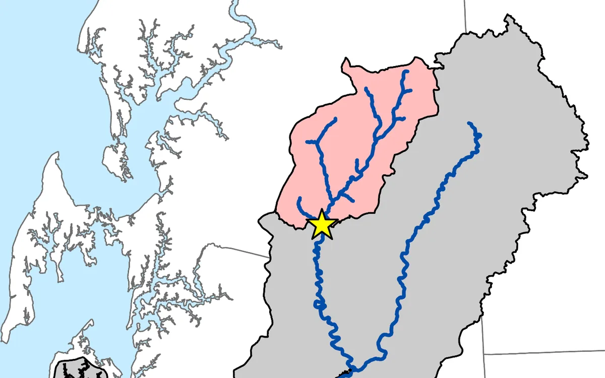
Water on land follows a simple budget. What falls as rain and snow either goes back to the air by evaporation, runs off through rivers, or stays for a while: as snow, in lakes and wetlands, in the soil and as groundwater. So the change in the water stored on land equals precipitation minus evapotranspiration minus runoff.

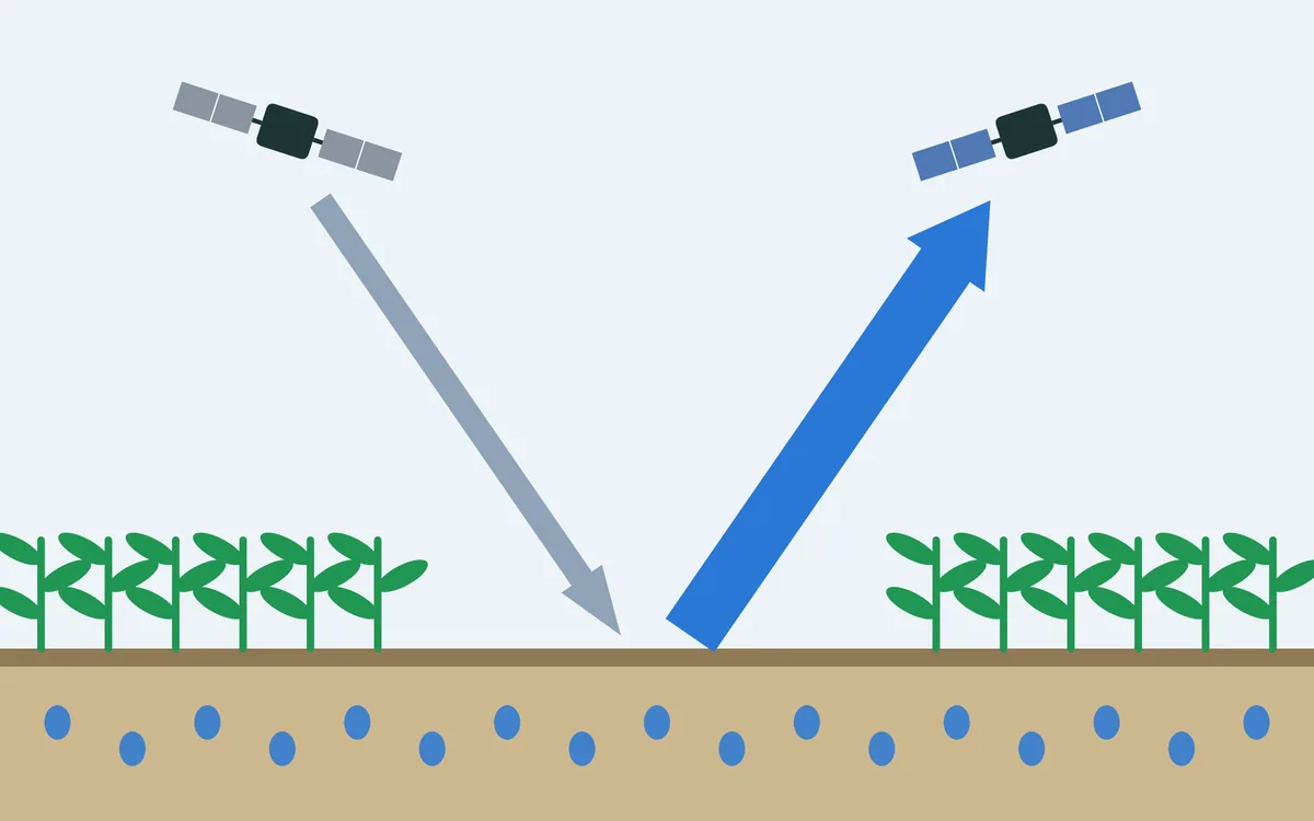
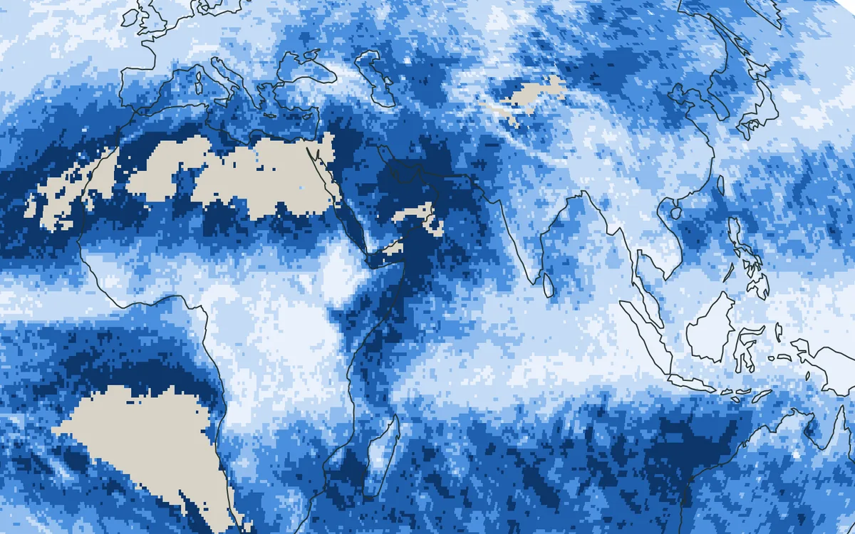
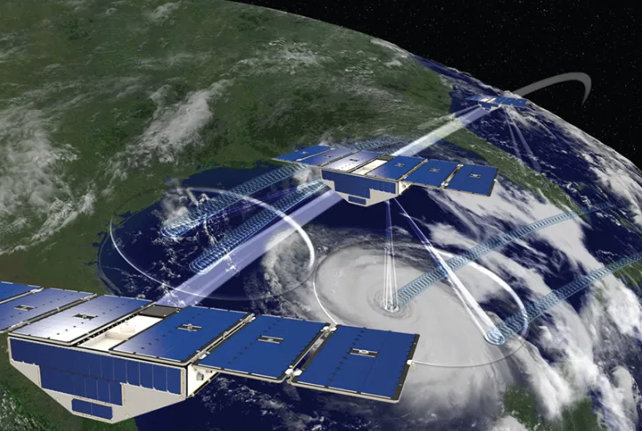
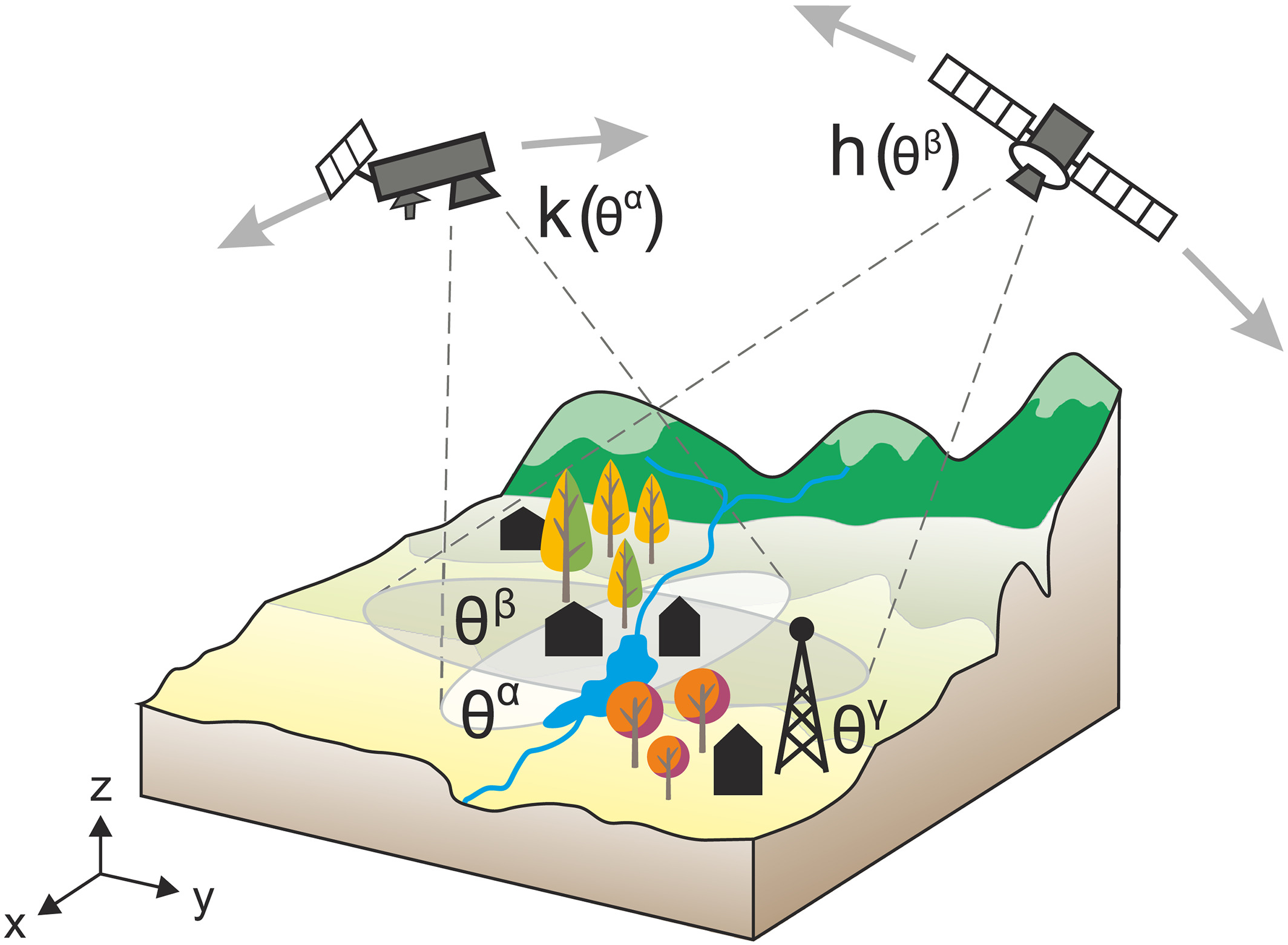
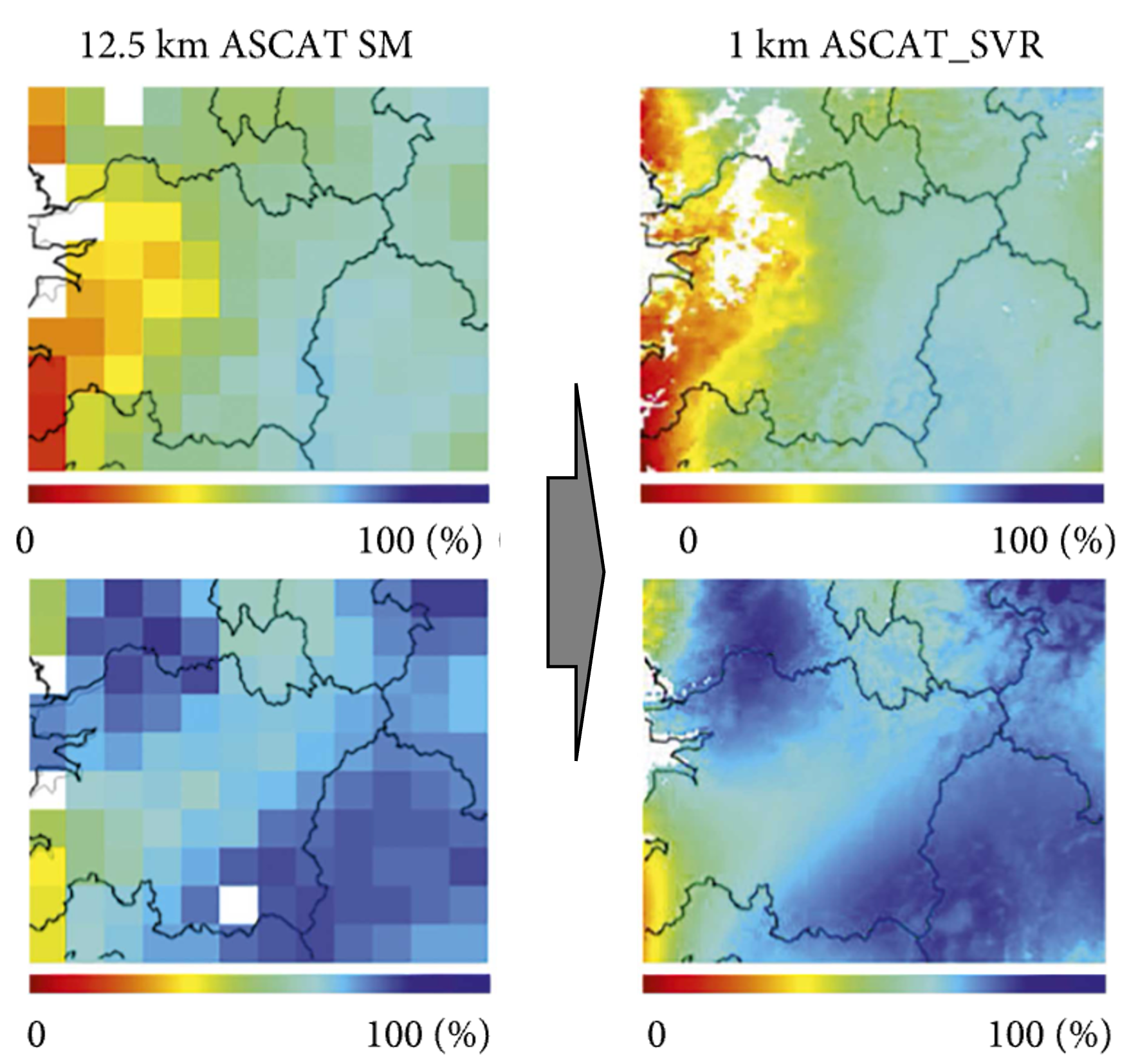
Each part is watched by different satellites. Precipitation is estimated from a fleet of microwave and infrared satellites, evapotranspiration from how warm and how green the surface is, soil moisture from microwave radiometers, the levels of rivers and lakes from radar altimeters. The total is weighed from orbit: the twin GRACE satellites sense the pull of gravity, which grows where water gathers.
The challenge
The estimates come from different instruments, at different scales and with different errors, so the budget does not close when they are simply put side by side. Most machine-learning models in hydrology also learn one part at a time, and so cannot use what one part says about another.
Our focus
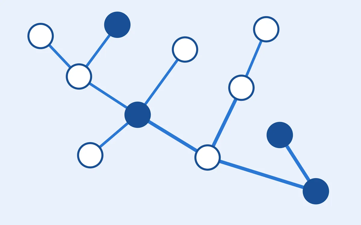
We are developing artificial-intelligence models that learn water storage and the flows of water together, so that what is known about one helps to estimate the others, and the balance of water is respected.
Why it matters
A consistent picture of water on land supports the monitoring of drought and the filling of gaps in observations, and makes better use of each satellite.