Where is it raining now, and where will it rain in the next hours? This project brings fresh satellite views of clouds and rain into artificial-intelligence weather forecasts.
At a glance
- Theme: Rain forecasts for the next hours
- Observations: Geostationary satellite imagery (GK2A), satellite rainfall (GPM)
- Approach: Artificial-intelligence weather models
- Region: East Asia

The basics
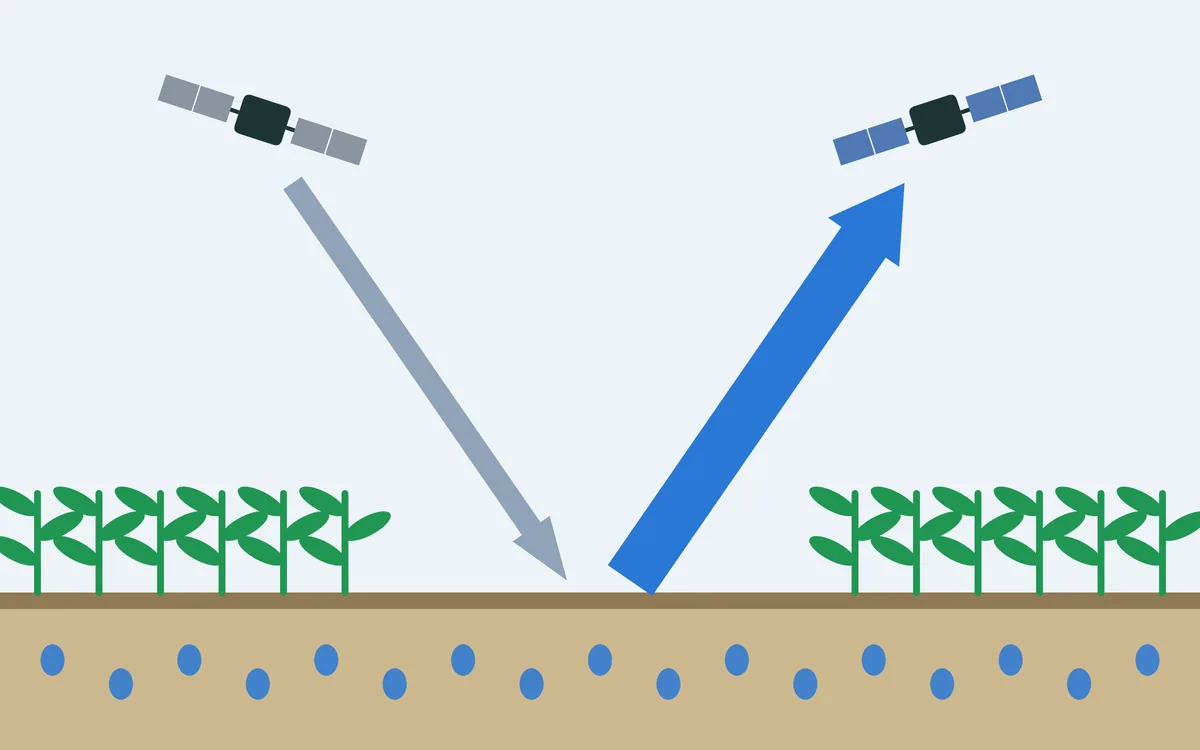
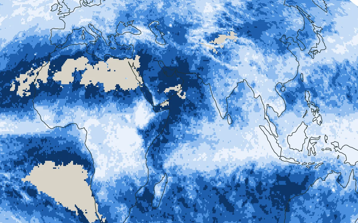
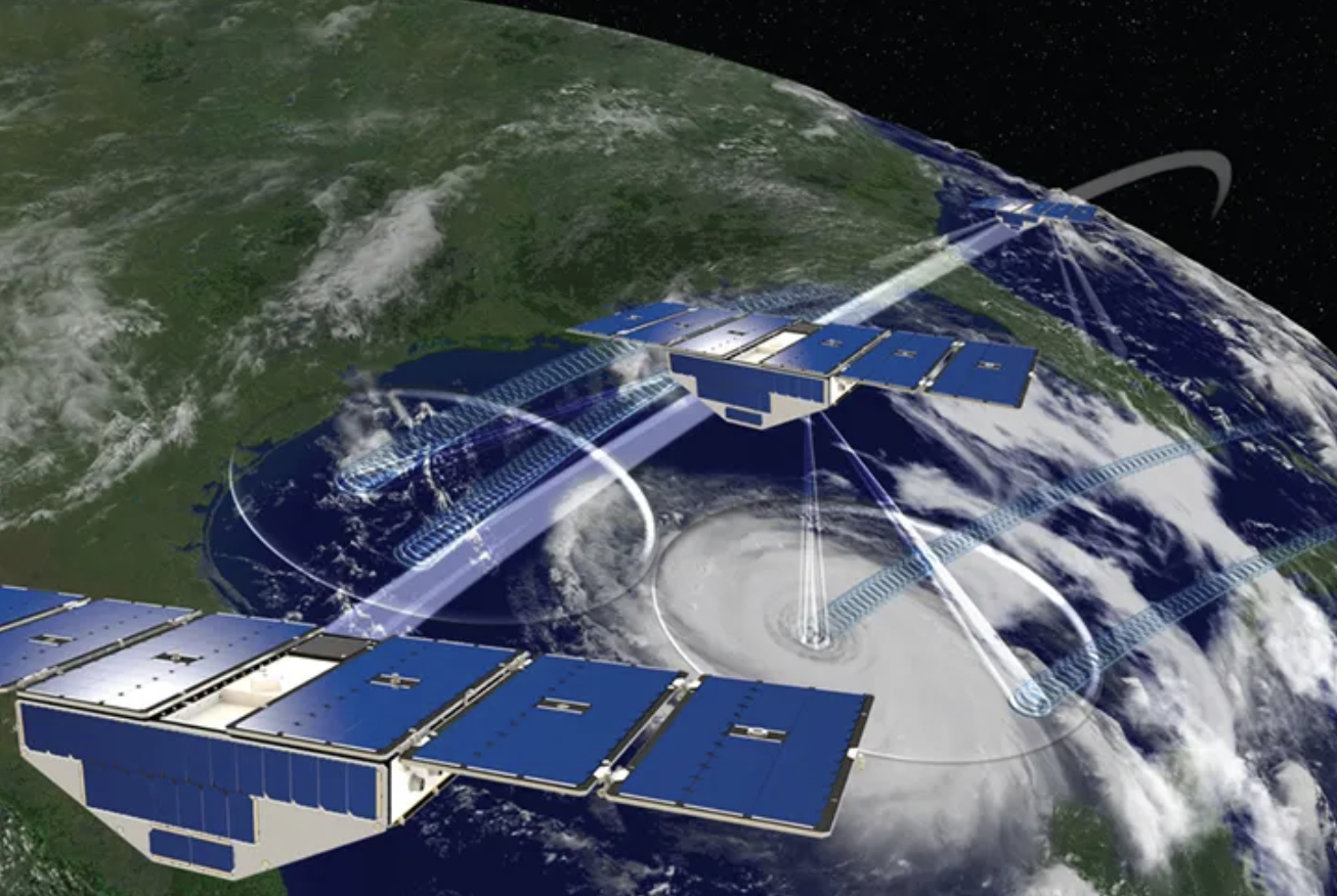
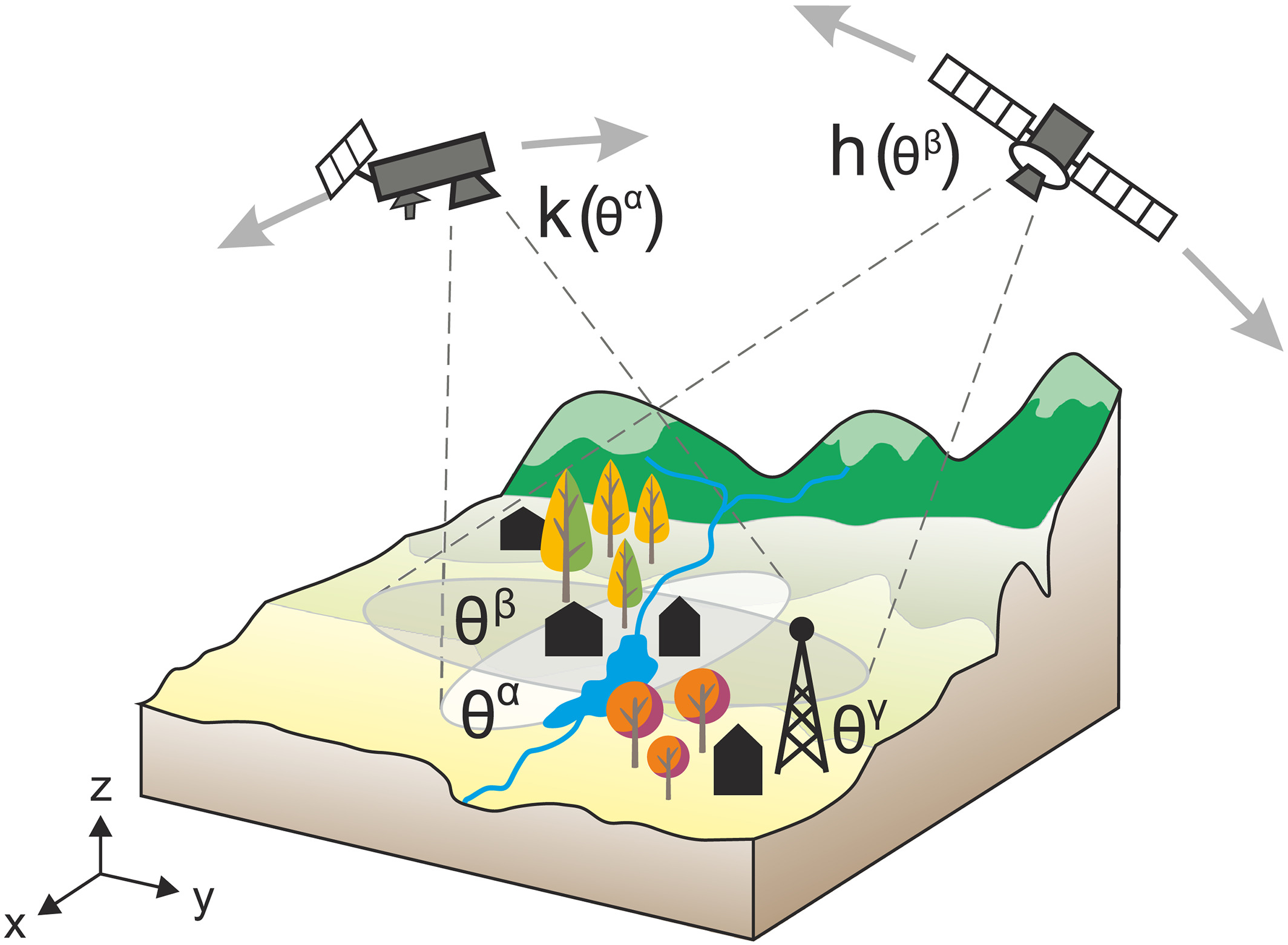
Rain is hard to measure. Rain gauges catch it at single points, and weather radars cover the land and the sea near it. Satellites see everywhere, in two ways. Geostationary satellites, such as Korea's GK2A, stay 36,000 km above the equator over the same region and take a picture of it every few minutes. They see the tops of the clouds, not the rain under them. Satellites in low orbits carry microwave instruments that look into the clouds and sense the raindrops and ice directly, but each of them passes over a given place only once or twice a day. Put together, the two give maps of rain over the whole globe every half hour.

Forecasting rain for the next few hours is called nowcasting. It depends above all on knowing where it is raining now and how the rain is moving.
The challenge
Heavy rain can form and move within hours. Satellites watch it almost without pause, yet a forecast starts from a picture of the atmosphere that is already some hours old, and artificial-intelligence weather models are usually given no direct observation of the rain that is falling now.
Our focus
We study how recent satellite observations of clouds and rain can be given to artificial-intelligence weather models, and how much they improve the forecast of rain for the coming hours.
Why it matters
Warnings of heavy rain depend on the next few hours. Knowing which observations help, and for how long, shows where satellite data are worth adding to a forecast.