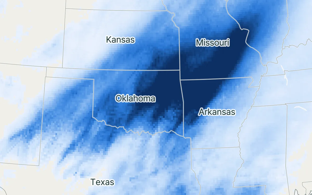
When a river floods, land turns into open water for days or weeks. This project asks how the lower atmosphere responds.
At a glance
- Theme: Floods and the exchange between land and atmosphere
- Observations: Satellite radar maps of flooded land
- Approach: Weather models at kilometre scale
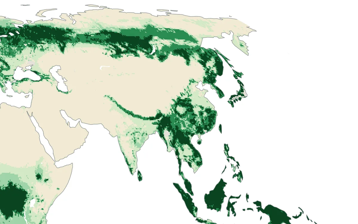
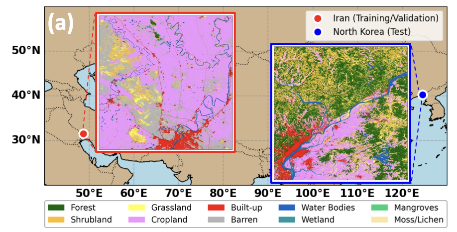
- Region: East Asia

The basics
Land and water treat the sun's energy differently. Dry land heats up during the day and warms the air above it; the warm air rises, mixes, and can feed showers and thunderstorms. Open water stays cooler and gives off its energy mainly by evaporating, which leaves the air above it cooler and moister. A large flood replaces one kind of surface by the other, over hundreds or thousands of square kilometres and for days or weeks.
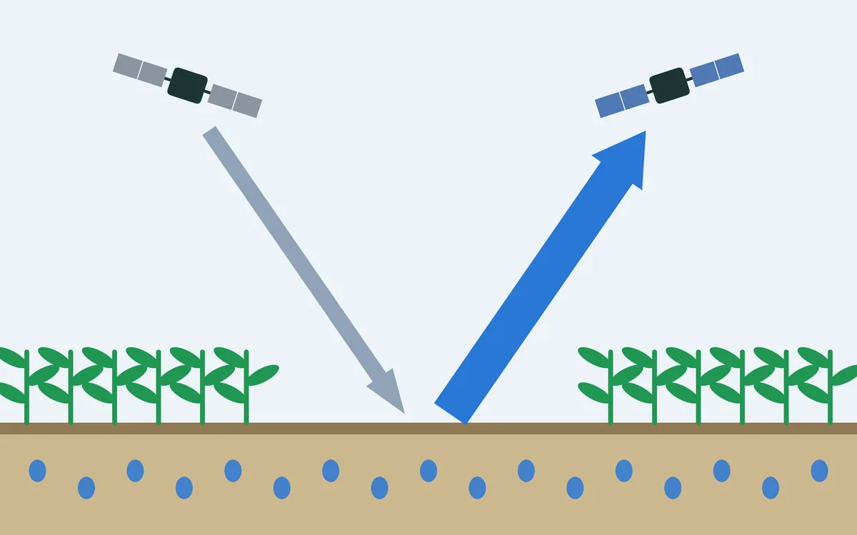
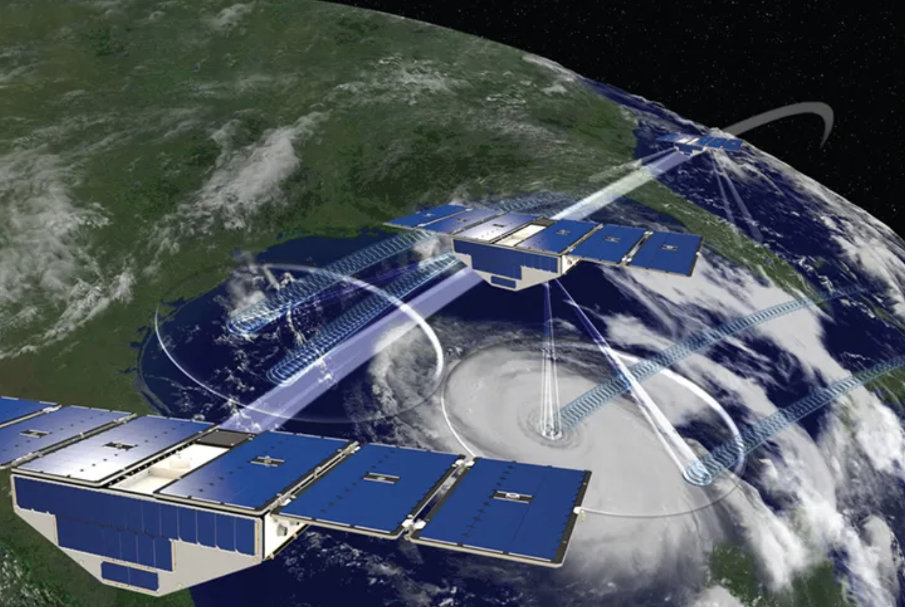
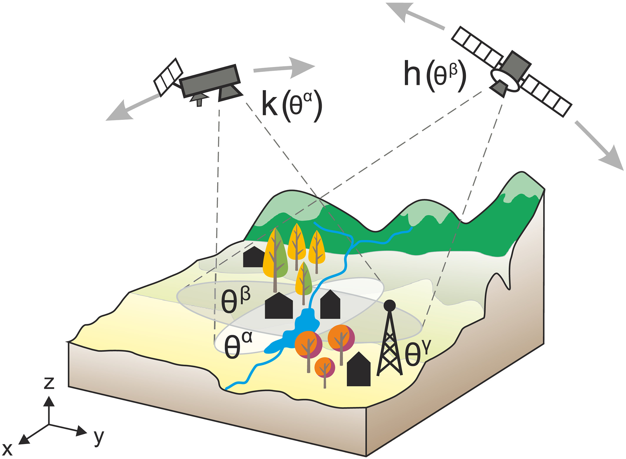
Where the water is can be seen by radar satellites. They send their own microwave pulses, which pass through cloud and work at night, and record what comes back. Rough land scatters part of the pulse back to the satellite. Smooth water reflects it away like a mirror, so flooded land shows up dark in a radar image.

The challenge
A flooded plain exchanges heat and moisture with the air very differently from cropland or forest. Weather models, however, usually keep their land surface as it was before the flood: for the model, the flooded fields are still fields.
Our focus
We use flood maps from satellite radar to tell a weather model where the water is, and study how temperature, humidity and the conditions for further rain change above it.
Why it matters
The work shows how much a flood can change the weather near the ground while it lasts, and how satellite observations can make weather models more realistic in such situations.