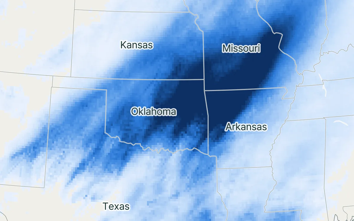
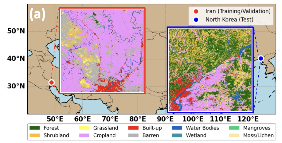
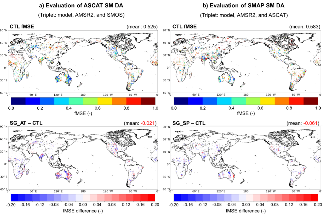
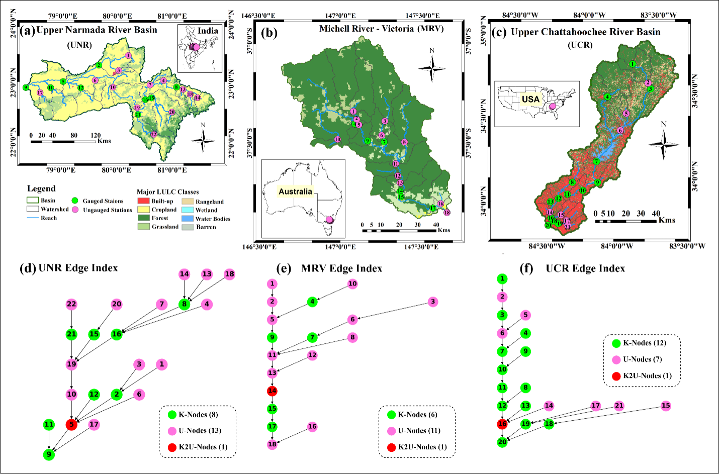
How wet the ground is before a storm decides how much of the rain runs off. This project asks when knowing soil moisture from satellites makes a flood forecast better.
At a glance
- Theme: Floods and soil moisture
- Observations: Satellite soil moisture, river gauges
- Approach: Hydrological models, artificial intelligence
- Region: Han River basin, South Korea

The basics
Soil is full of small pores. When rain falls on dry soil, the pores take the water in, and only a small part reaches the rivers. When the soil is already wet, the pores are nearly full: most of the new rain cannot soak in, runs off over and through the ground, and the rivers rise fast. The same storm can therefore pass almost unnoticed or cause a flood, depending on the weeks before it. Hydrologists call this the antecedent condition of a basin, and soil moisture is its most direct measure.

A flood forecast puts rain forecasts into a hydrological model, which keeps account of the water in the soil and turns rain into river flow. If the model's soil is drier or wetter than the real one, the flood forecast is wrong even when the rain forecast is right.
The challenge
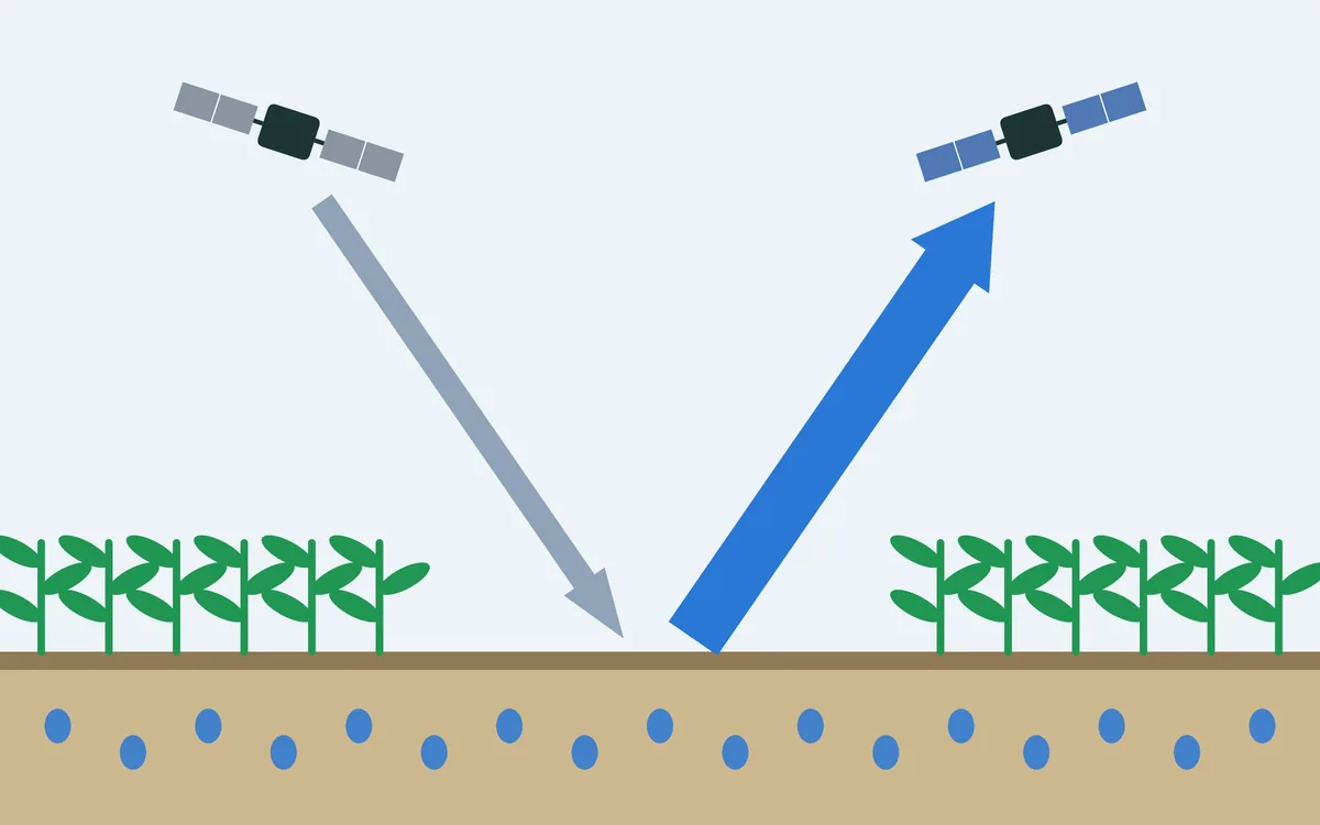
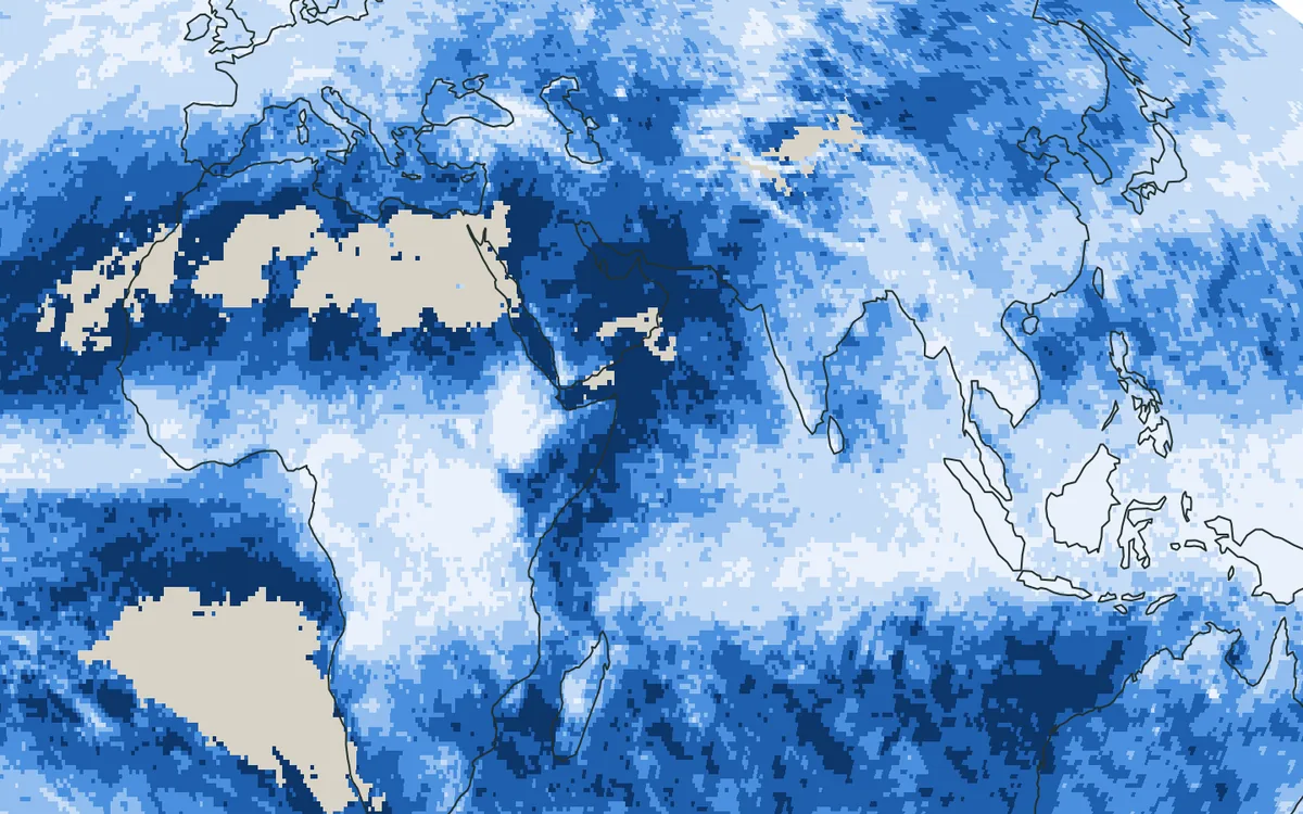
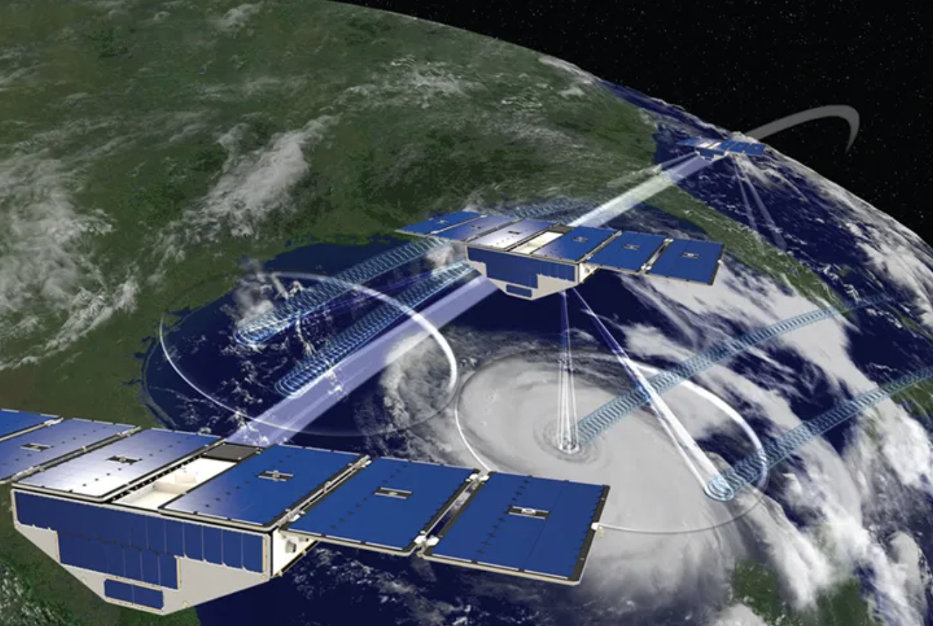
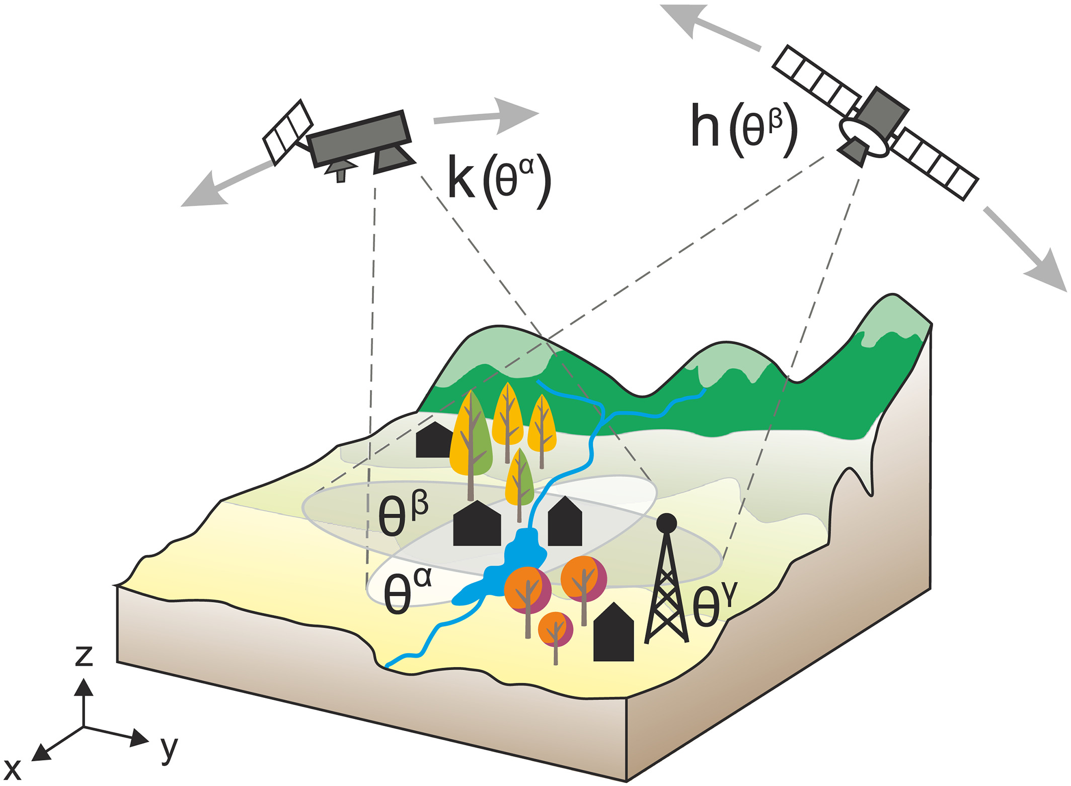
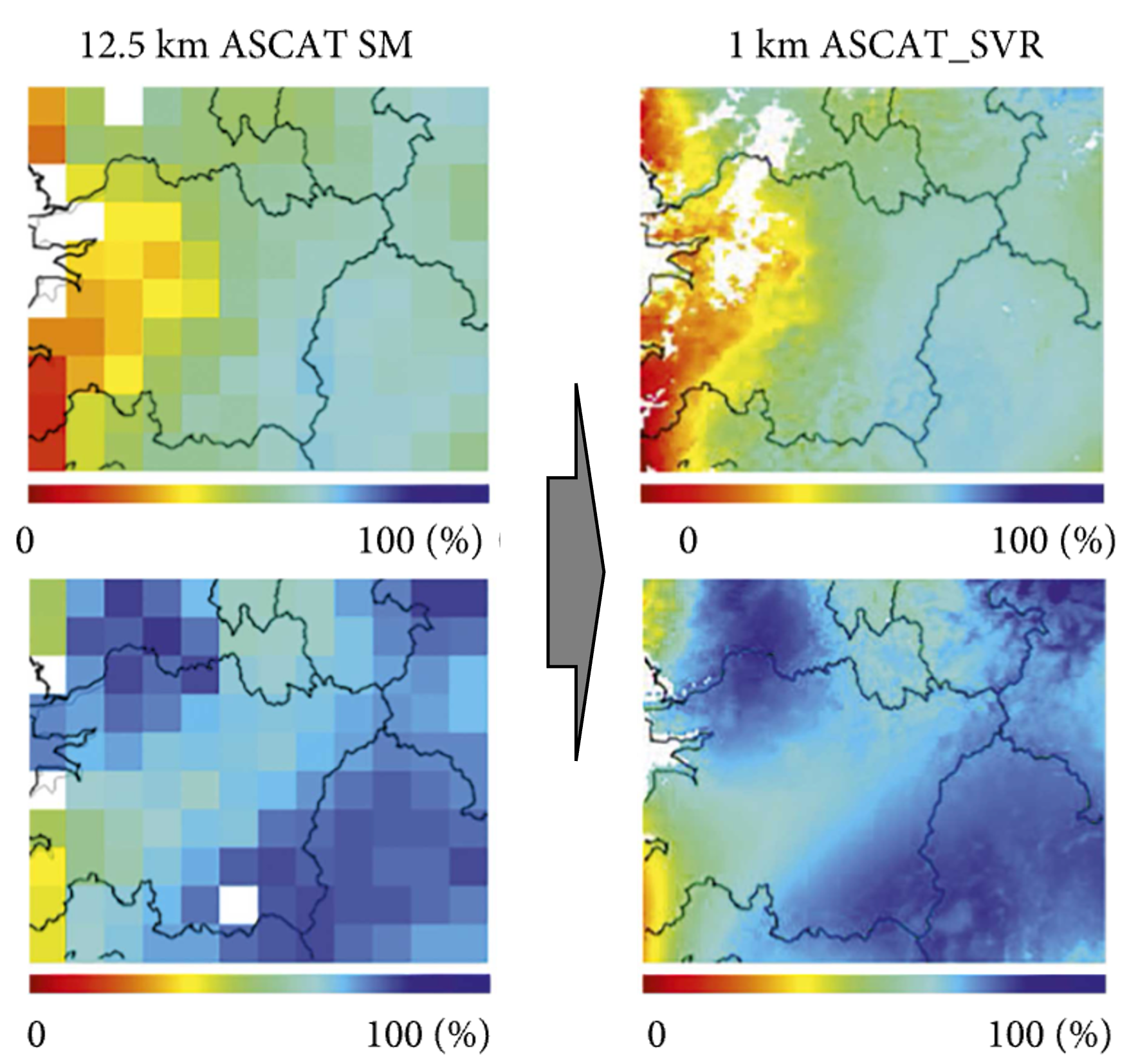
The state of the soil is measured at few places. Satellites observe soil moisture everywhere, but only near the surface and at a coarse scale, and feeding their data into a forecast helps in some basins and storms and not in others. Nobody can yet say beforehand which.
Our focus
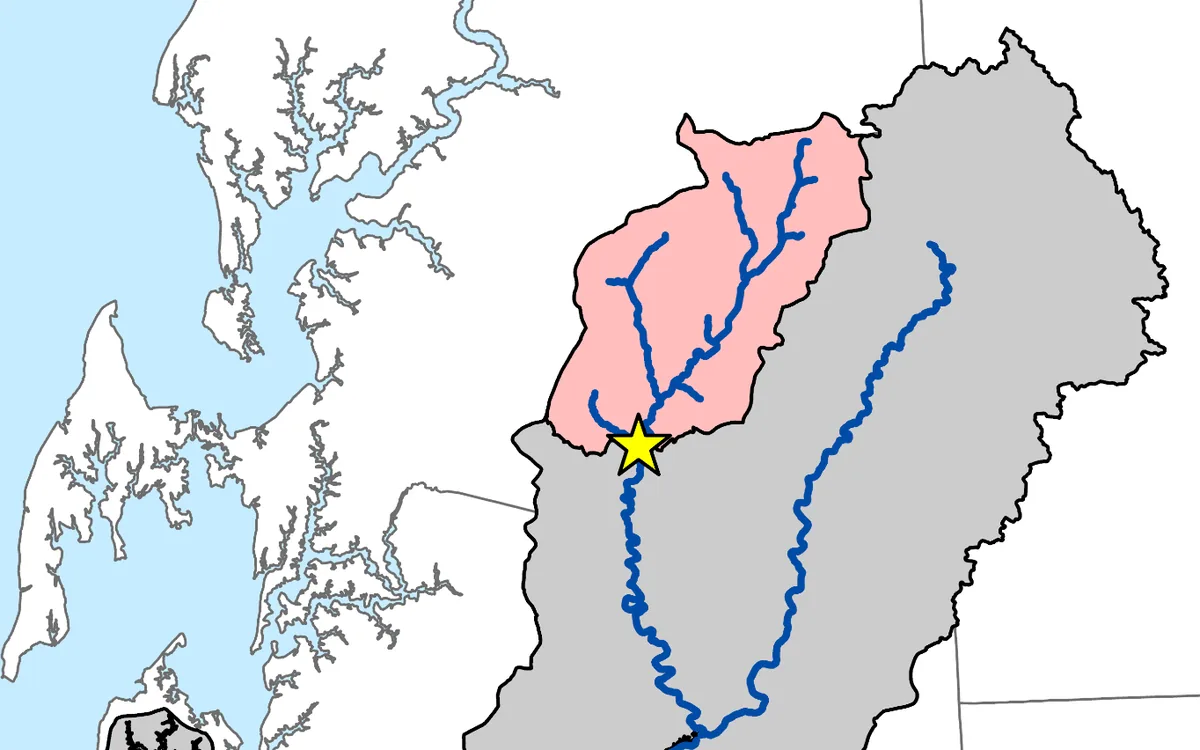
We study how closely soil moisture and runoff are tied together in river basins, with the Han River basin in Korea as the main example, and ask where and when satellite observations of soil moisture can make a flood forecast better.
Why it matters
Knowing in advance when satellite soil moisture helps would let forecasters use it where it counts.