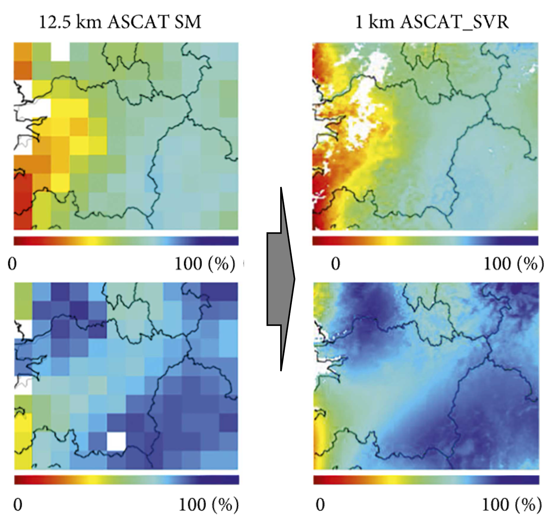
Satellite maps of soil moisture are full of holes: the satellite does not pass everywhere every day, and under forest, snow or frozen ground it cannot see the soil. This project works on filling those gaps.
At a glance
- Theme: Gap-free satellite soil moisture
- Observations: Satellite soil moisture (SMAP), weather data
- Approach: Artificial intelligence
- Scale: Global

The basics
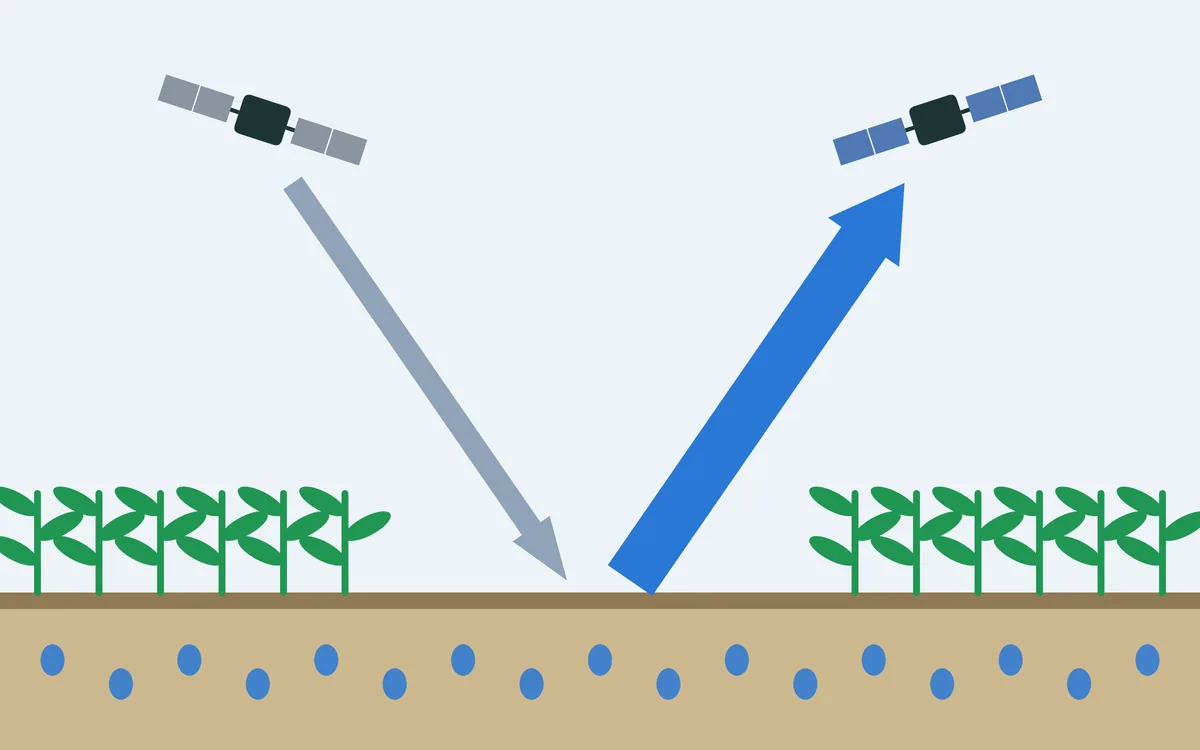
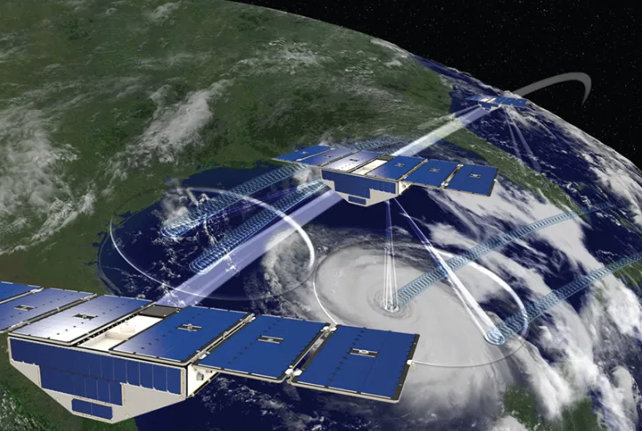
NASA's SMAP satellite circles the Earth from pole to pole about fifteen times a day, 685 km up, and measures the faint microwave radiation that the ground gives off by itself. Wet soil gives off less of it than dry soil, and that is how soil moisture, in about the top five centimetres, is read from orbit. The instrument sees a strip about 1,000 km wide below its path. Its morning passes cover less than half of the land in one day, and it takes three days to see nearly all of it.

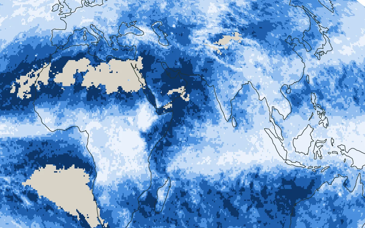
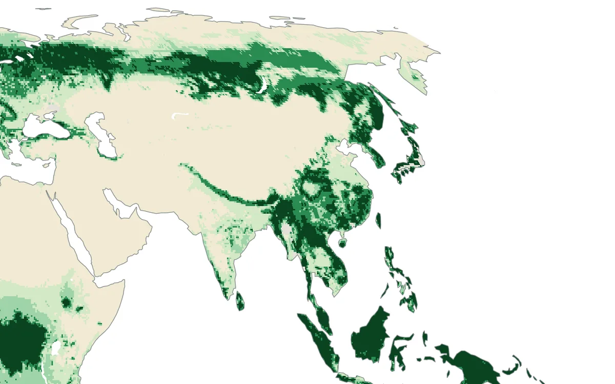
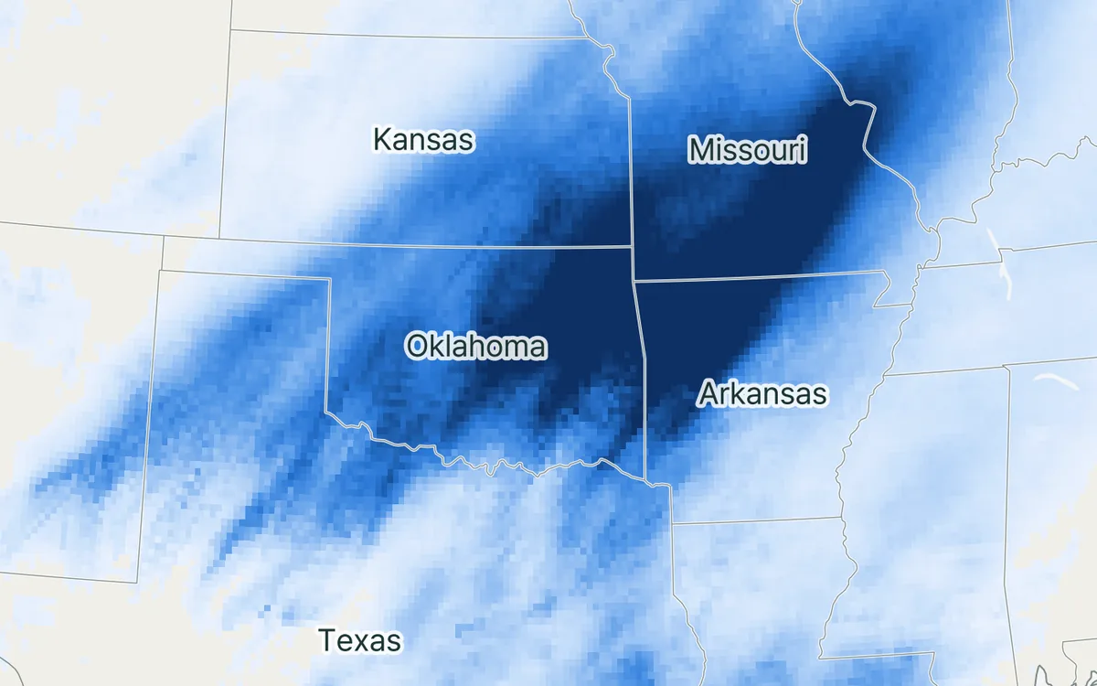
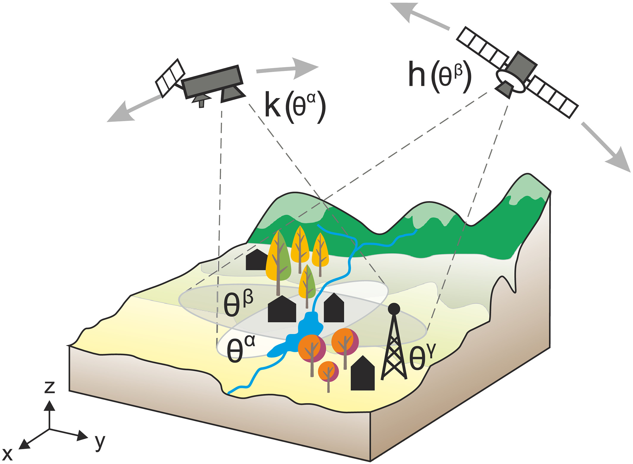
And a pass does not always give a value. Under dense forest the signal from the soil is hidden by the vegetation. Frozen or snow-covered ground gives no reading of liquid water. Radio transmitters on the ground, steep mountains and open water disturb the measurement. What remains is a map with holes that change from day to day.
The challenge
The gaps are often largest where information is needed most, and no two days have the same ones. Yet most uses of soil moisture, from watching droughts to forecasting floods, need a value for every place and every day.
Our focus
We use artificial intelligence that has learned from very large collections of Earth observations and weather data to estimate soil moisture where and when the satellite has no value, in a way that agrees with the satellite where it does.
Why it matters
Monitoring drought and running hydrological forecasts need soil moisture maps without gaps. The same approach could also extend the record to the years before the satellite was launched.