How much water a field gives back to the air decides how much irrigation it needs. Global data sets see a whole farming district as a handful of numbers; this project works on maps that tell one field from the next.
At a glance
- Theme: Field-scale evapotranspiration
- Observations: Landsat and Sentinel-2 imagery, measurements at flux towers
- Approach: Artificial intelligence trained on satellite imagery
- Resolution: 30 m

The basics
Evapotranspiration is the water that goes back from the land to the air: evaporation from the soil and from wet leaves, and transpiration, the water that plants draw up through their roots and give off through their leaves. Over land, about three fifths of the rain and snow return to the air this way, and for a crop it is, in effect, the water the crop uses.
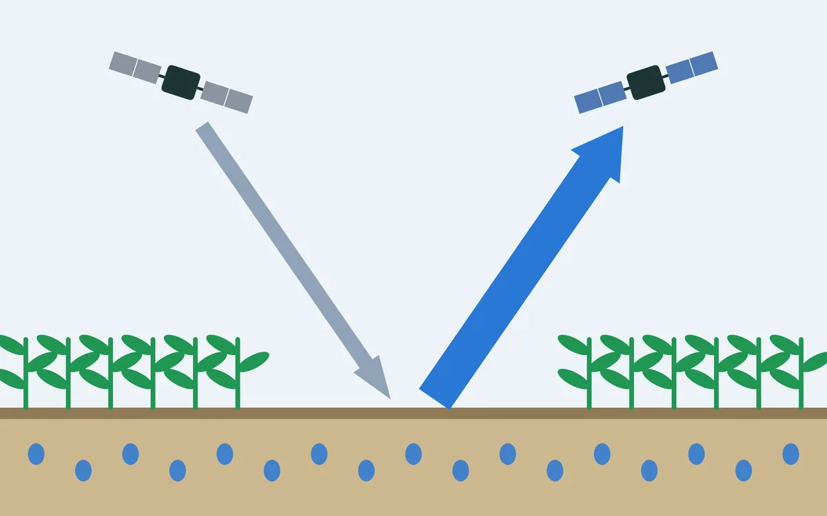
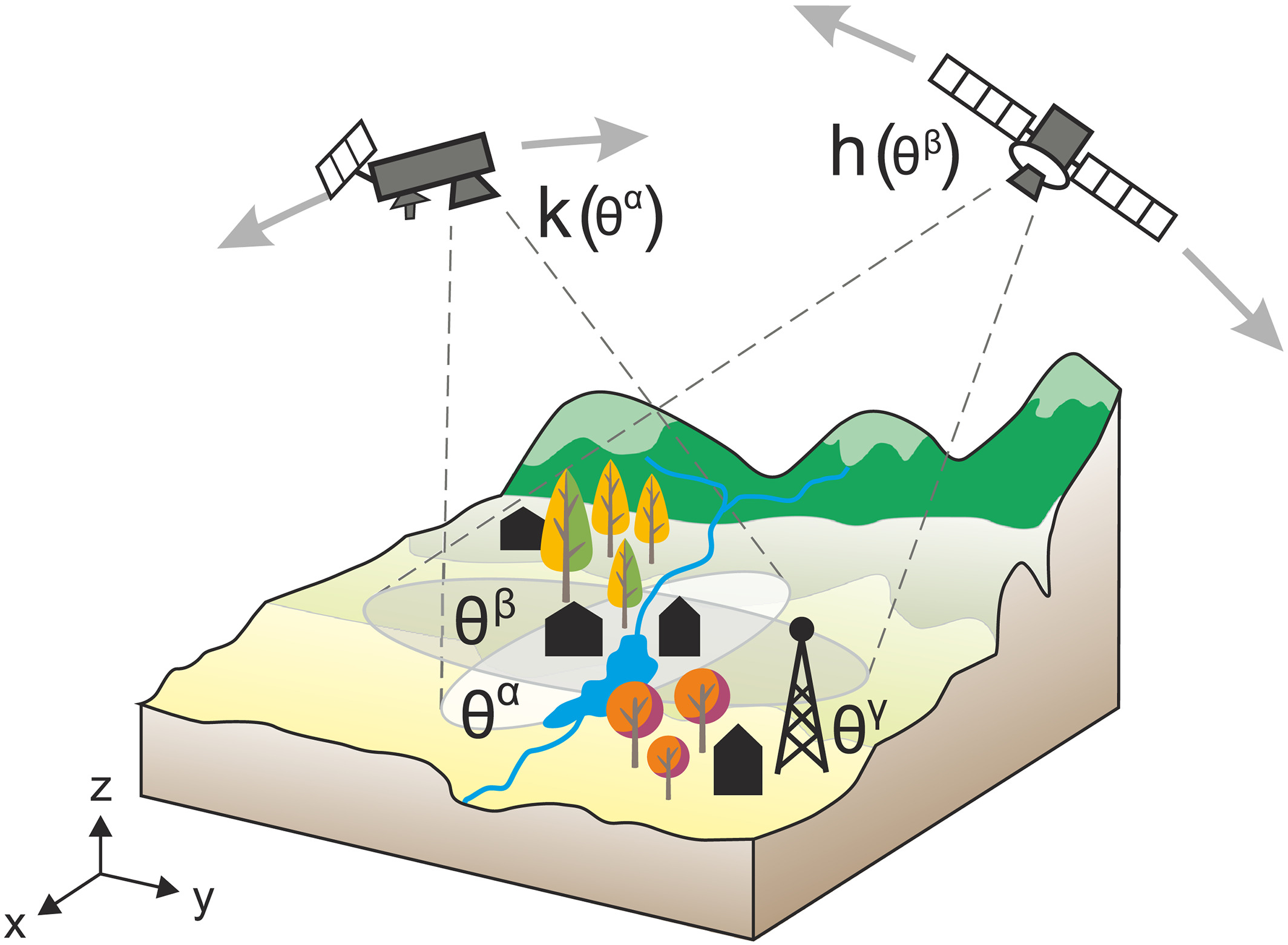
No satellite sees water vapour leaving a field. But evaporating water takes energy. A field with enough water spends most of the sun's energy on evaporation and stays cool; a field that is running dry cannot, and heats up. Satellites measure how warm the surface is and how green, and together with weather data this tells how much water is being evaporated. The finer the satellite's picture, the smaller the fields that can be told apart: Landsat sees pieces of land 30 m across.

The challenge
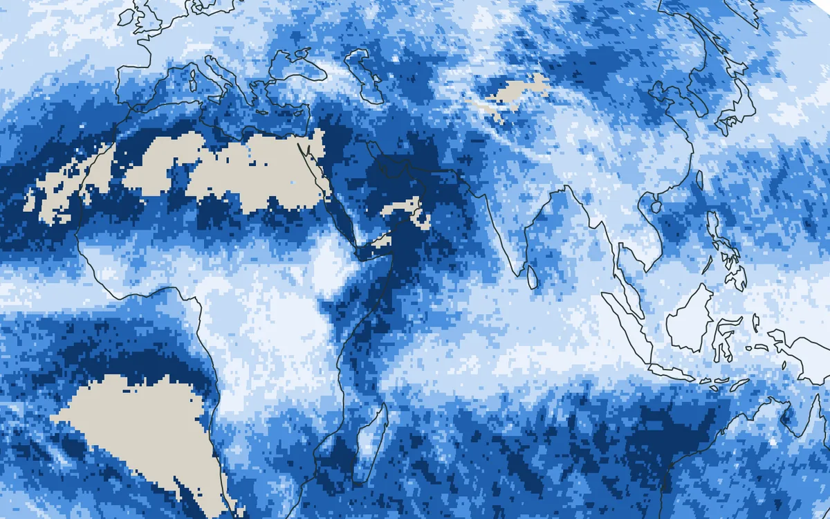
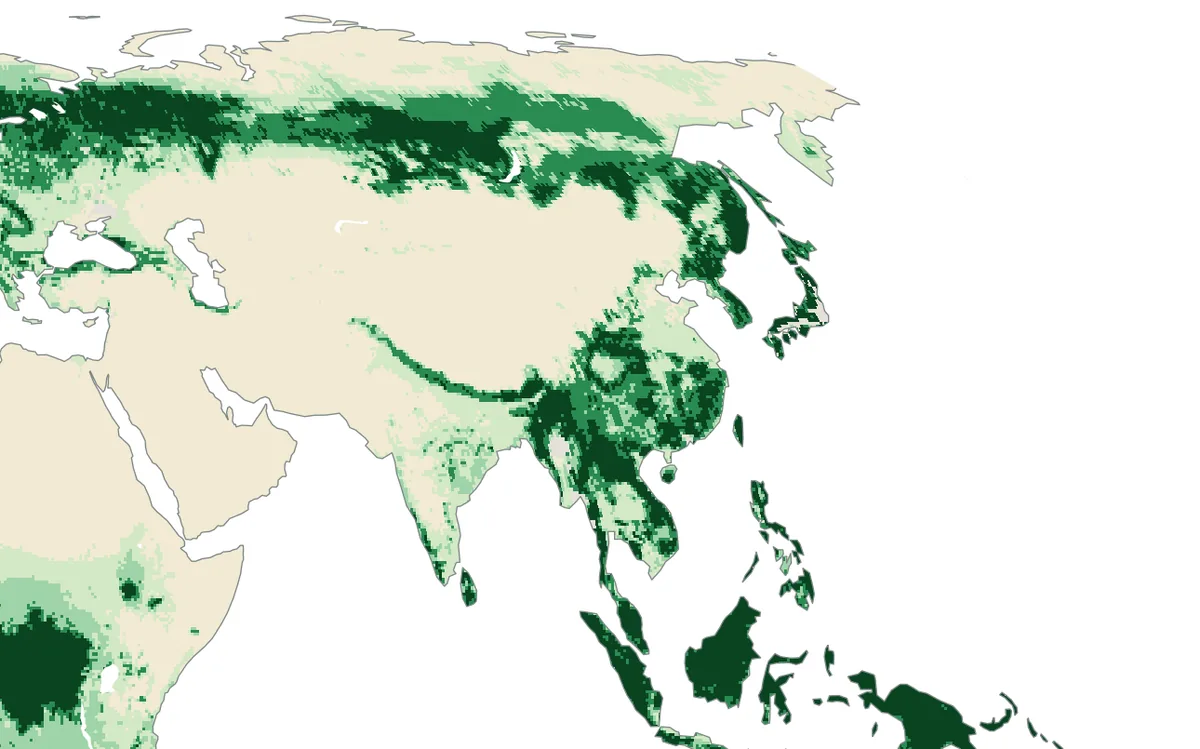
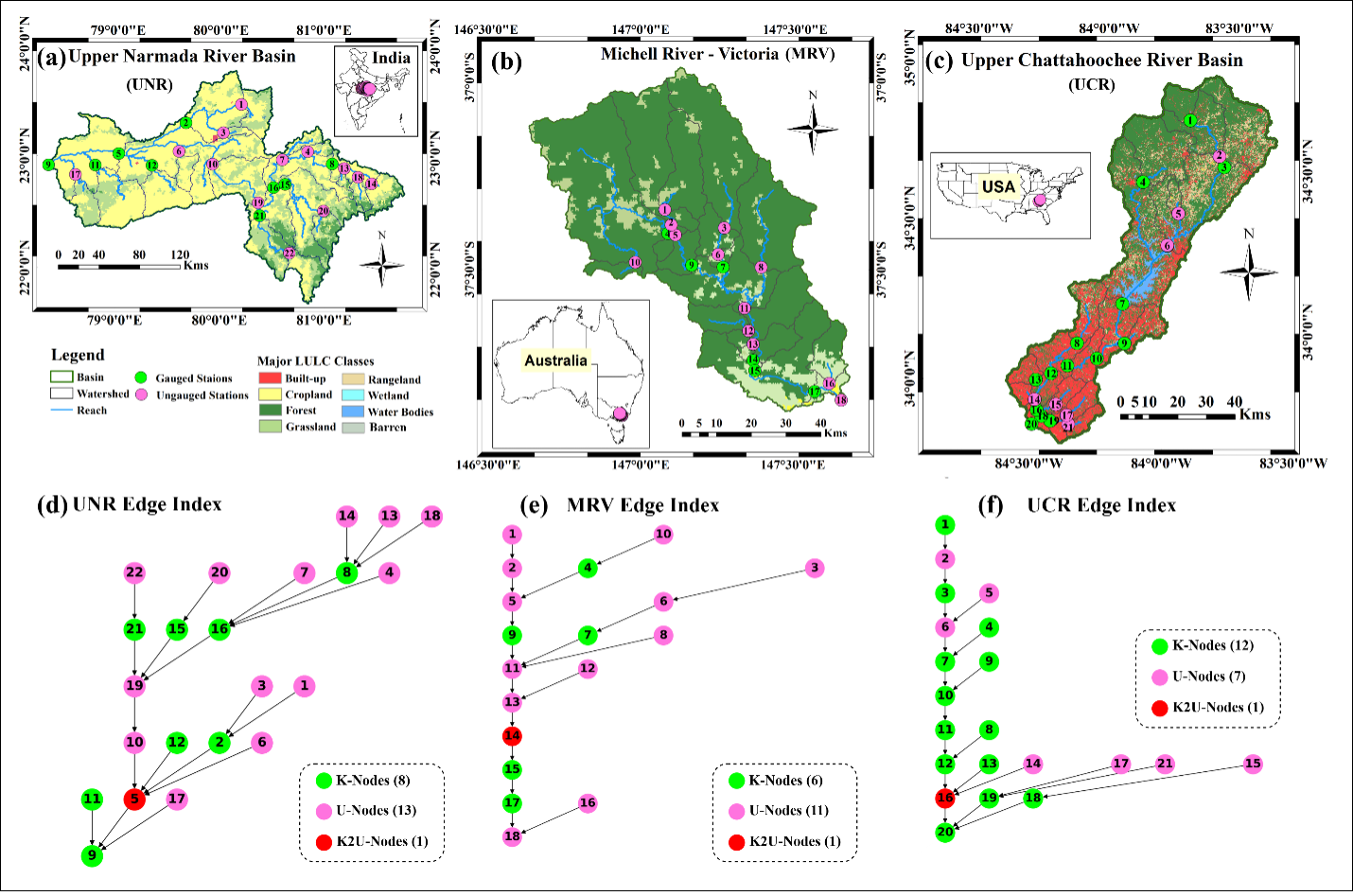
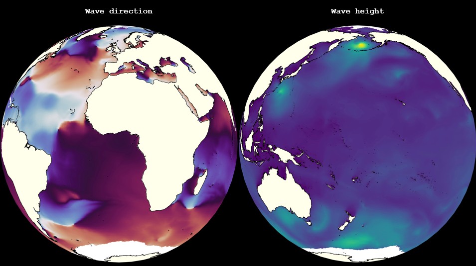
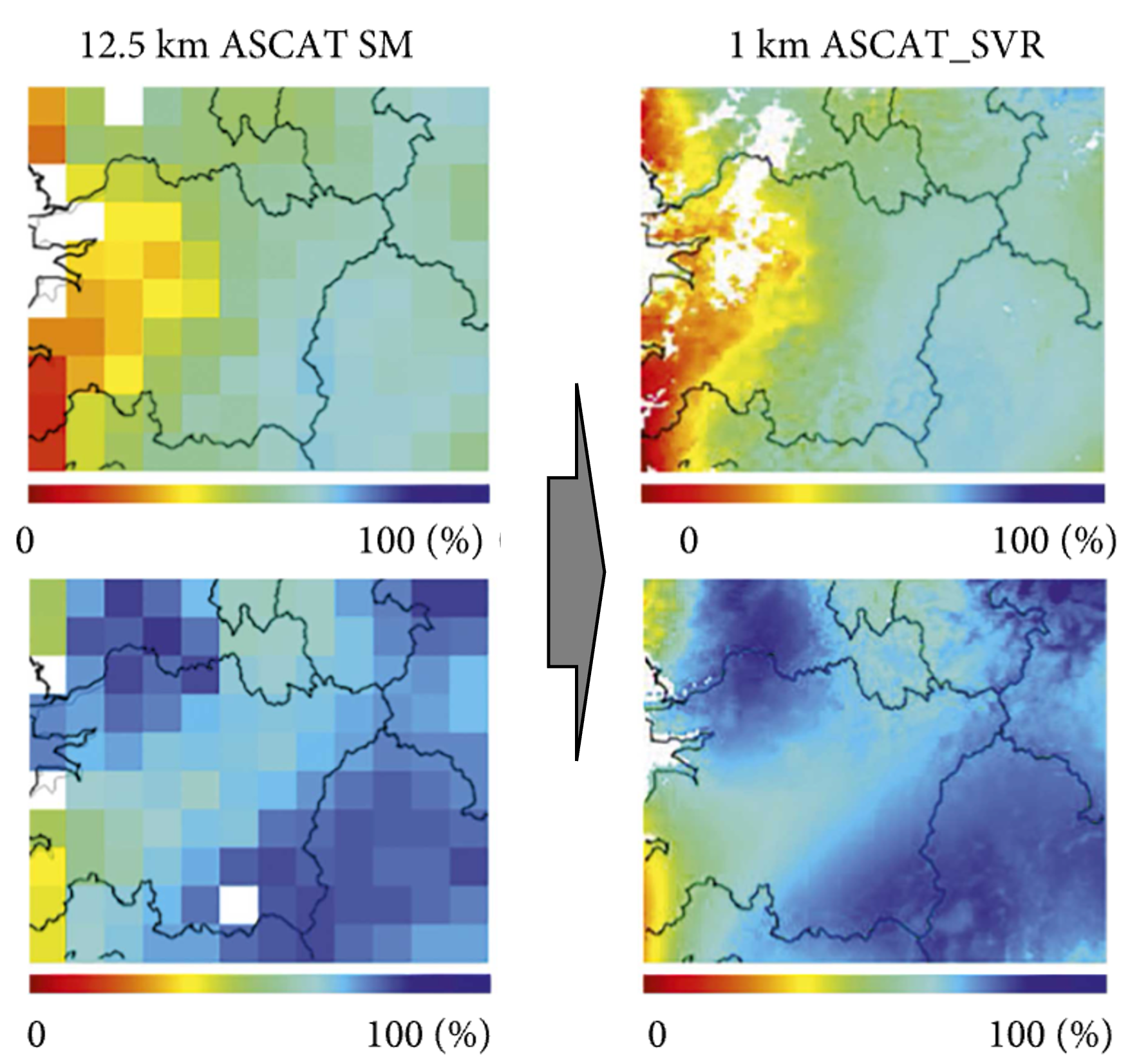
Most global estimates of evapotranspiration have cells several kilometres wide, far larger than a field, as in the first figure. Maps at the scale of fields exist for few countries, and making them takes satellite images, weather data and measurements on the ground to check them against.
Our focus
We use artificial intelligence that has learned from very large archives of satellite images to estimate evapotranspiration at 30 m, the scale of single fields, month by month. We test the estimates in different climates against measurements at flux towers, which record the exchange of water vapour between the land and the air directly. The first maps, for sample areas, can be seen in the data portal of the project.
Why it matters
Estimates at the scale of fields help farmers and water managers to plan irrigation and to see drought stress early, also in regions that have no such maps today.